Wayside Shrines and Stations of the Cross · Neoclassicism
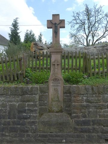
Kreuz gegenüber Haus Rother Straße 40
- Listed monument


Description
This description is only available in German.
Translate with Google opens this page in Google Translate (external service)
Wegekreuz; Schaftkreuz, wohl aus der ersten Hälfte des 19. Jahrhunderts. [1]
Classification
- Subject area
- Architectural and Art Monuments
- Category
- Religious Buildings
- Object type
- Wayside Shrines and Stations of the Cross
- Date
- Erste Hälfte des 19. Jahrhunderts
- Period
- Neoclassicism
Location
- District
- Vulkaneifel
- Town
- Gerolstein
- Locality / location
- Roth
- Street
- Rother Straße 40
- Field name
- Ortslage
- Coordinates
- WGS 84: 50.253873, 6.618345 (Position: exact) WGS 84: 50° 15′ 13.9″ N, 6° 37′ 06.0″ E UTM 32 (ETRS89): E 330223 · N 5569572
Sources
Data sources
- [1] Denkmalliste der Generaldirektion Kulturelles Erbe, Rheinland-Pfalz; 2010.
On the internet
gerolstein.org/gerolstein-stadtteile/roth.html
Picture credits
Last edited: 20 Apr 2011 Object ID: 23060
https://kulturdb.de/en/objekt/23060-gerolstein-kreuz-gegenueber-haus-rother-strasse-40
Nearby
The nearest objects
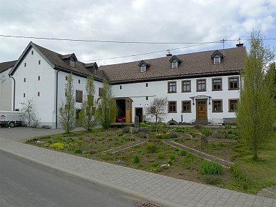 50 m
Farmhouses and Farm Buildings
Winkelhof
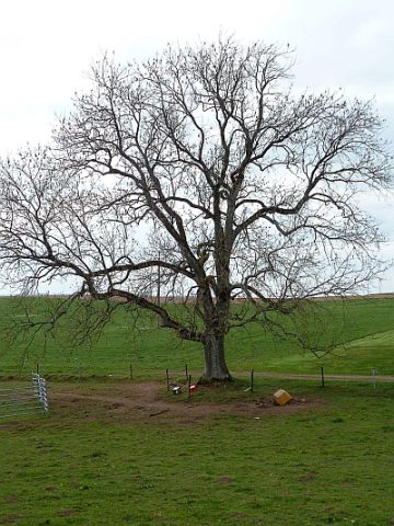 80 m
Ash Trees
Alte Esche am Graben
Field Names
Im Werth
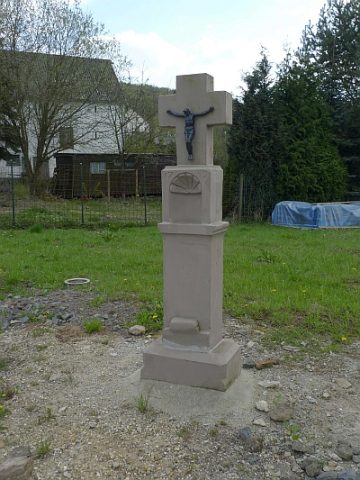 80 m
Wayside Shrines and Stations of the Cross
Schaftkreuz von 1759
Wayside Shrines and Stations of the Cross
Wegekreuz
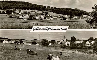 160 m
Place Names / Local History
Ortsgeschichte Roth
 160 m
Wayside Shrines and Stations of the Cross
Schaftkreuz
 170 m
Lime Trees