Lime Trees · 20th Century
Ehemalige Dorflinde
- Listed monument


Description
This description is only available in German.
Translate with Google opens this page in Google Translate (external service)
Tiliar var.
Stammumfang: 3,5 m
Höhe: 24,0 m
Kronendurchmesser: 24,0 m
Alter: 200 Jahre
Classification
- Subject area
- Natural Features
- Category
- Trees
- Object type
- Lime Trees
- Date
- 28.05.1985 [Unterschutzstellung]
- Period
- 20th Century
Location
- District
- Vulkaneifel
- Town
- Gerolstein
- Locality / location
- Roth
- Street
- Am Wert 1
- Field name
- Ortslage
- Coordinates
- WGS 84: 50.252615, 6.619666 (Position: exact) WGS 84: 50° 15′ 09.4″ N, 6° 37′ 10.8″ E UTM 32 (ETRS89): E 330313 · N 5569429
Sources
Data sources
- Rita Gehendges: Naturdenkmale des Landkreises Daun. 1985. Hrsg.: Landkreis Daun.
On the internet
gerolstein.org/gerolstein-stadtteile/roth.html
Picture credits
Last edited: 21 Feb 2012 Object ID: 2594
https://kulturdb.de/en/objekt/2594-gerolstein-ehemalige-dorflinde
Nearby
The nearest objects
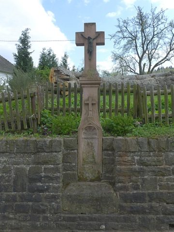 10 m
Wayside Shrines and Stations of the Cross
Schaftkreuz
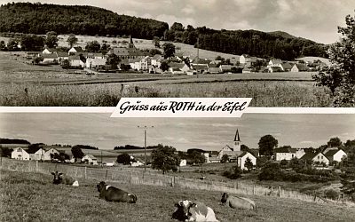 30 m
Place Names / Local History
Ortsgeschichte Roth
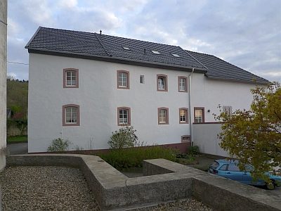 40 m
Courthouses
Sogenanntes Scholzenhaus
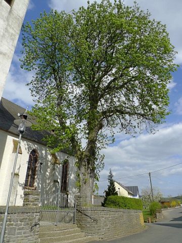 60 m
Chestnut Trees
Kastanie bei Sankt Antonius
 70 m
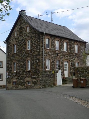
Farmhouses and Farm Buildings
Ehemaliger Pfarrhof
 70 m
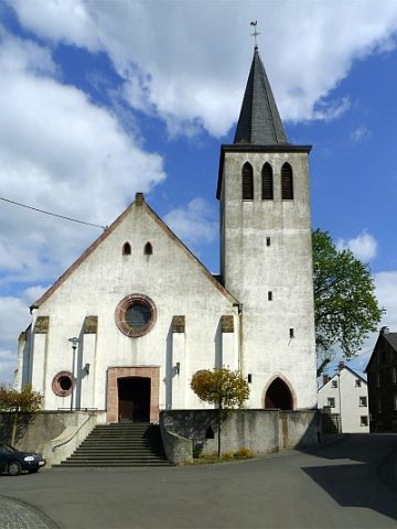
Catholic Churches
Sankt Antonius
 70 m
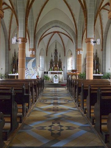
Altars
Sankt Antonius - Altar
 90 m
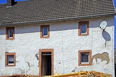
Farmhouses and Farm Buildings