Deserted Settlements · Early Middle Ages / Romanesque
Ehemalige Siedlung Alderburg


© GeoBasis-DE / LVermGeoRP, dl-de/by-2-0
There is no picture of this object yet. Do you have a photo that you would like to make available to the Kulturdatenbank? Submit a picture
Classification
- Subject area
- Archaeological Monuments
- Category
- Settlements
- Object type
- Deserted Settlements
- Date
- 11. Jahrundert
Location
- District
- City of Trier
- Collective municipality
- Verbandsfreie Gemeinde Trier
- Town
- Trier
- Locality / location
- Mitte-Gartenfeld
- Street
- Olewiger Straße
- Field name
- Ortslage
- Coordinates
- WGS 84: 49.748292, 6.643642 (Position: presumed) WGS 84: 49° 44′ 53.9″ N, 6° 38′ 37.1″ E UTM 32 (ETRS89): E 330255 · N 5513310
Sources
Data sources
- 2000 Jahre Trier. Bd.2 Trier im Mittelalter. Hrsg. Universität Trier. Spee-Verlag, 1996. Karte 4: Trier im 11. Jahrhundert.
On the internet
Last edited: 21 Jul 2011 Object ID: 23344
https://kulturdb.de/en/objekt/23344-trier-ehemalige-siedlung-alderburg
Nearby
The nearest objects
No picture
50 m
Extraction and Processing of Raw Materials
Ehemalige Gerberei
No picture
60 m
Catering, Inns and Hotels
Ehemalige Actienbrauerei Union
No picture
80 m
Street Names
Spitzmühle
No picture
110 m
Street Names
Fausenburg
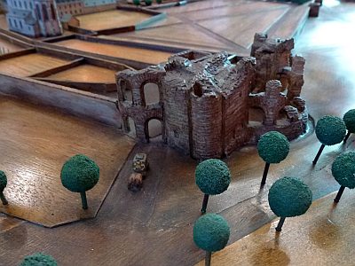 120 m
Town Fortifications
Ehemaliges Alttor, auch Alt-Pforte
No picture
120 m
Temples, Sanctuaries
Kleinere Kapelle
No picture
130 m
Deserted Settlements
Merowinger Siedlung
No picture
130 m
Deserted Settlements