Deserted Settlements · Merovingian Period
Merowinger Siedlung
Wüstung


© GeoBasis-DE / LVermGeoRP, dl-de/by-2-0
There is no picture of this object yet. Do you have a photo that you would like to make available to the Kulturdatenbank? Submit a picture
Description
This description is only available in German.
Translate with Google opens this page in Google Translate (external service)
Spätmerowingische Siedlung. Im römischen Altbachtal, zwischen den Siedlungen Castil und Bergentheim, außerhalb der mittelalterlichen Stadt Trier. [1]
Classification
- Subject area
- Archaeological Monuments
- Category
- Settlements
- Object type
- Deserted Settlements
- Date
- ca. 500 bis ca. 700
- Period
- Merovingian Period
Location
- District
- City of Trier
- Collective municipality
- Verbandsfreie Gemeinde Trier
- Town
- Trier
- Locality / location
- Mitte-Gartenfeld
- Field name
- Ortslage
- Coordinates
- WGS 84: 49.747295, 6.644600 (Position: presumed) WGS 84: 49° 44′ 50.3″ N, 6° 38′ 40.6″ E UTM 32 (ETRS89): E 330320 · N 5513197
Sources
Data sources
- [1] Janssen, W.: Studien zur Wüstungsfrage im fränkischen Altsiedelland zwischen Rhein, Mosel und Eifelnordrand. 2 Bände. Text u. Katalog, 1975.
On the internet
Last edited: 7 Oct 2003 Object ID: 91
https://kulturdb.de/en/objekt/91-trier-merowinger-siedlung
Nearby
The nearest objects
Street Names
Fausenburg
Mills
Ehemalige Spitzmühle an der Weberbach
Street Names
Spitzmühle
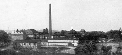 110 m
Extraction and Processing of Raw Materials
Ehemalige Lederwerke Hermann Simon
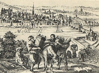 110 m
Vineyard Sites
Vor der Alderburg (Winkelmühle)
Deserted Settlements
Ehemalige Siedlung Alderburg
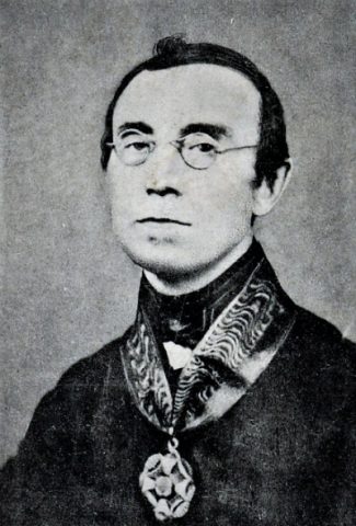 150 m
Street Names
Wilmowskystraße
Catering, Inns and Hotels