Street Names · Undated
Fausenburg


© GeoBasis-DE / LVermGeoRP, dl-de/by-2-0
There is no picture of this object yet. Do you have a photo that you would like to make available to the Kulturdatenbank? Submit a picture
Description
This description is only available in German.
Translate with Google opens this page in Google Translate (external service)
Fausenburg = Vogtsburg. Die Örtlichkeit gehörte zu dem vor der mittelalterlichen Stadtmauer gelegenen Dorfe Castil / Castell. [1]
Classification
- Subject area
- History
- Category
- Place Names / Local History
- Object type
- Street Names
- Date
- Undatiert
- Period
- Undated
Location
- District
- City of Trier
- Collective municipality
- Verbandsfreie Gemeinde Trier
- Town
- Trier
- Locality / location
- Mitte-Gartenfeld
- Street
- Fausenburg
- Field name
- Ortslage
- Coordinates
- WGS 84: 49.747947, 6.645019 (Position: exact) WGS 84: 49° 44′ 52.6″ N, 6° 38′ 42.1″ E UTM 32 (ETRS89): E 330353 · N 5513268
Sources
Data sources
- [1] Die Straßennamen in Trier. Nach Vorarbeiten von Emil Zenz, hg. vom Kulturbüro der Stadt Trier, 2003.
- [2] Stadtarchiv Trier: Ausschnitt aus dem Plan von Trier, entworfen und gezeichnet von A[ugust] Berthold, [nebst] Umgebung von Trier (ca. 1845): Kt 6/115a
On the internet
Last edited: 5 Mar 2021 Object ID: 6726
https://kulturdb.de/en/objekt/6726-trier-fausenburg
Nearby
The nearest objects
 70 m
Street Names
Wilmowskystraße
Deserted Settlements
Merowinger Siedlung
 90 m
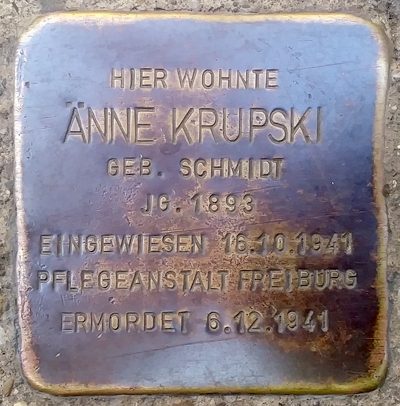
Stolpersteine (Stumbling Stones)
Stolperstein für Änne Krupski
Catering, Inns and Hotels
Ehemalige Actienbrauerei Union
Deserted Settlements
Ehemalige Siedlung Alderburg
Street Names
Charlottenstraße
Mills
Ehemalige Spitzmühle an der Weberbach
 180 m
Vineyard Sites