Castles · Prehistory / Early History
Befestigungsanlage auf dem Borberg


Description
This description is only available in German.
Translate with Google opens this page in Google Translate (external service)
Erden "Burgberg"
Keltische Höhensiedlung,
Mitte 2. Jahrhundert v. Chr. [2]
Classification
- Subject area
- Archaeological Monuments
- Object type
- Castles
- Date
- Bis circa 200 vor Chr.
Location
- District
- Bernkastel-Wittlich
- Collective municipality
- Bernkastel-Kues
- Municipality
- Erden
- Field name
- Borberg
- Coordinates
- WGS 84: 49.984585, 7.020859 (Position: exact) WGS 84: 49° 59′ 04.5″ N, 7° 01′ 15.1″ E UTM 32 (ETRS89): E 358120 · N 5538794
Sources
Data sources
- [1] Kremb/Lautzas: Landesgeschichtlicher Exkursionsführer Rheinland-Pfalz, Bd.2, 1991; Verlag Arbogast, 6756 Otterbach.
- [2] Infotafel vor Ort - September 2021.
On the internet
Picture credits
Last edited: 7 Oct 2021 Object ID: 235
https://kulturdb.de/en/objekt/235-erden-befestigungsanlage-auf-dem-borberg
Nearby
The nearest objects
 20 m
Chapels
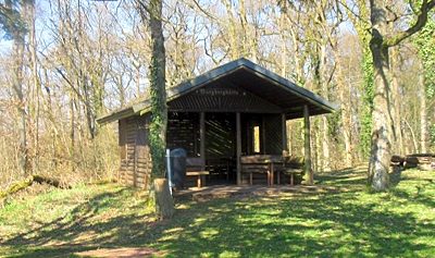
Ehemalige Wegekapelle
 30 m
Viewpoints
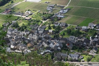
Aussichtspunkt Borberg
 30 m
Surveying
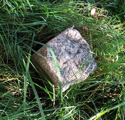
Höhenfestpunkt Borberg
No picture
100 m
Viewpoints
Aussichtspunkt unterm Borberg
No picture
130 m
Hilltop Castles
Erdener Burg
 190 m
Wayside Shrines and Stations of the Cross
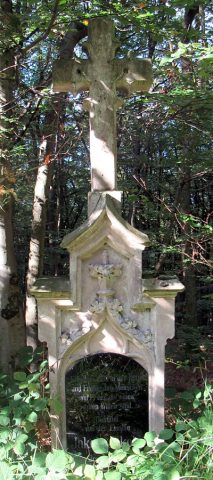
Pfeilerschaftkreuz / Schrifttafel
 200 m
Wayside Shrines and Stations of the Cross
Wegekreuz
No picture
280 m
Vineyard Sites