Wayside Shrines and Stations of the Cross · Undated
Pfeilerschaftkreuz / Schrifttafel


Description
This description is only available in German.
Translate with Google opens this page in Google Translate (external service)
An der Gemeindegrenze zu Erden. [1]
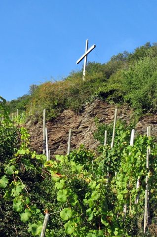
Pfeilerschaftkreuz mit Schrifttafel, hinter Böschung K62 gelegen. Schaft mit Verzierungen, schwarze Marmor-Schrifttafel, Korpus entwendet.
Inschrift:
Ehre sei Gott in der Höhe
und Friede den Menschen
auf Erden die eines
guten Willen sind.
Gestiftet
von der Familie
Jakob Jakoby
Errichtet 1929.
[2]
Classification
- Subject area
- Architectural and Art Monuments
- Category
- Religious Buildings
- Object type
- Wayside Shrines and Stations of the Cross
- Date
- Undatiert
- Period
- Undated
Location
- District
- Bernkastel-Wittlich
- Collective municipality
- Bernkastel-Kues
- Municipality
- Ürzig
- Street
- Zum Mont Royal
- Field name
- Oben vor Brödgen
- Coordinates
- WGS 84: 49.986230, 7.020230 (Position: exact) WGS 84: 49° 59′ 10.4″ N, 7° 01′ 12.8″ E UTM 32 (ETRS89): E 358080 · N 5538978
Sources
Data sources
- [1] GeoPortal des Landes Rheinland-Pfalz. http://www.geoportal.rlp.de/
- [2] Michael Grün, Trier, 2021.
On the internet
Picture credits
Last edited: 28 Sep 2021 Object ID: 32534
https://kulturdb.de/en/objekt/32534-uerzig-pfeilerschaftkreuz-schrifttafel
Nearby
The nearest objects
Hilltop Castles
Erdener Burg
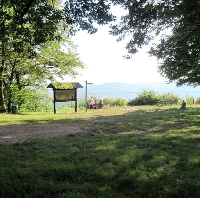 190 m
Castles
Befestigungsanlage auf dem Borberg
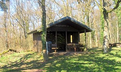 190 m
Chapels
Ehemalige Wegekapelle
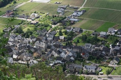 210 m
Viewpoints
Aussichtspunkt Borberg
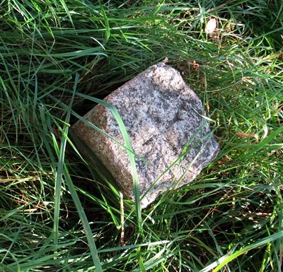 210 m
Surveying
Höhenfestpunkt Borberg
 250 m
Viewpoints
Aussichtspunkt Leizenberg
Viewpoints
Aussichtspunkt unterm Borberg
 340 m
Wayside Shrines and Stations of the Cross