Surveying · Undated
Höhenfestpunkt Borberg


Description
This description is only available in German.
Translate with Google opens this page in Google Translate (external service)
Höhenfestpunkt Borberg auf Höhenpunkt 354,2 Meter über NHN. [1]
Classification
- Subject area
- Architectural and Art Monuments
- Category
- Markers and Monuments
- Object type
- Surveying
- Date
- Undatiert
- Period
- Undated
Location
- District
- Bernkastel-Wittlich
- Collective municipality
- Bernkastel-Kues
- Municipality
- Erden
- Field name
- Borberg
- Coordinates
- WGS 84: 49.984340, 7.020658 (Position: exact) WGS 84: 49° 59′ 03.6″ N, 7° 01′ 14.4″ E UTM 32 (ETRS89): E 358105 · N 5538767
Sources
Data sources
- [1] Wanderkarten im Maßstab 1:50.000 und 1:25.000
On the internet
Picture credits
Last edited: 7 Oct 2021 Object ID: 51325
https://kulturdb.de/en/objekt/51325-erden-hoehenfestpunkt-borberg
Nearby
The nearest objects
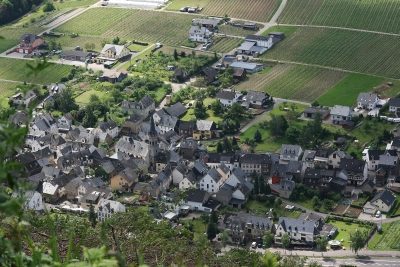 less than 10 m
Viewpoints
Aussichtspunkt Borberg
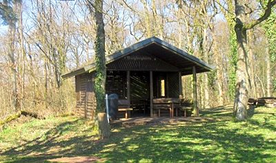 20 m
Chapels
Ehemalige Wegekapelle
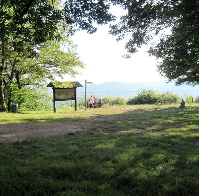 30 m
Castles
Befestigungsanlage auf dem Borberg
No picture
70 m
Viewpoints
Aussichtspunkt unterm Borberg
No picture
160 m
Hilltop Castles
Erdener Burg
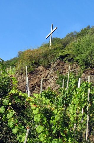 170 m
Wayside Shrines and Stations of the Cross
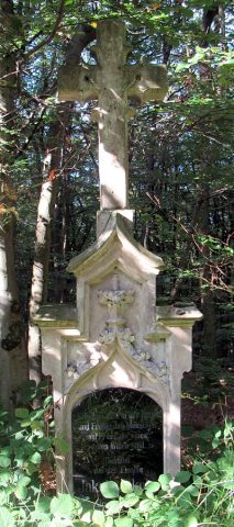
Wegekreuz
 200 m
Surveying
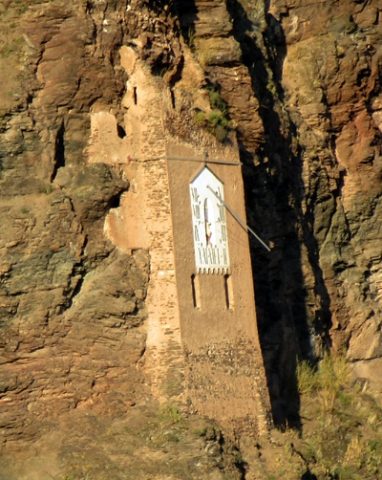
Burg zur Leyen - Sonnenuhr
 210 m
Wayside Shrines and Stations of the Cross