Field Names · Undated
Lawerlängten


© GeoBasis-DE / LVermGeoRP, dl-de/by-2-0
There is no picture of this object yet. Do you have a photo that you would like to make available to the Kulturdatenbank? Submit a picture
Description
This description is only available in German.
Translate with Google opens this page in Google Translate (external service)
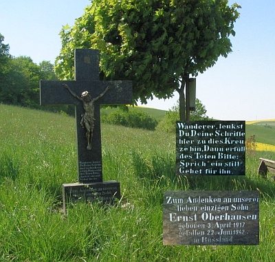
[...] Die Gemarkung rechts oberhalb des Oberhausener Kreuzes heißt Lawerlängten. Die Lawer längten sind langezogene (längten) und feuchte (Lawer: französisch lavoir, oberdeutsch Lavor 'Waschbecken') Flurstücke [1]
Classification
- Subject area
- History
- Category
- Field Names
- Date
- Undatiert
- Period
- Undated
Location
- District
- Trier-Saarburg
- Collective municipality
- Ruwer
- Municipality
- Pluwig
- Locality / location
- Wilzenburg
- Field name
- Lawerlängten
- Coordinates
- WGS 84: 49.685172, 6.718396 (Position: exact) WGS 84: 49° 41′ 06.6″ N, 6° 43′ 06.2″ E UTM 32 (ETRS89): E 335426 · N 5506127
Sources
Data sources
On the internet
Last edited: 19 Jul 2023 Object ID: 24103
https://kulturdb.de/en/objekt/24103-pluwig-lawerlaengten
Nearby
The nearest objects
Field Names
In der Aetel 1. Gewann
 180 m
Wayside Shrines and Stations of the Cross
Oberhausener Kreuz
Field Names
Im Dumpf 1. Gewann
Field Names
Lawerwild
Field Names
In der Aetel 2. Gewann
Field Names
Im Weißen Stein
Viewpoints
Aussichtspunkt
 370 m
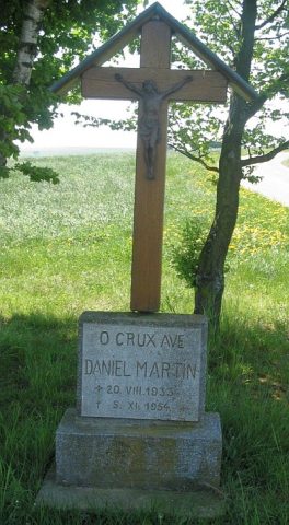
Wayside Shrines and Stations of the Cross