Field Names · Undated
Lawerwild


© GeoBasis-DE / LVermGeoRP, dl-de/by-2-0
There is no picture of this object yet. Do you have a photo that you would like to make available to the Kulturdatenbank? Submit a picture
Description
This description is only available in German.
Translate with Google opens this page in Google Translate (external service)
[...] Unter dem zweiten Kääpen liegt Im Lawerwild, unter dem dritten Im Dellenwild, zwei ehemals landwirtschaftlich ungenutzte Fluren (wild): Die eine liegt wie eine flache Vertiefung (Delle) am Hang, die andere ist feucht wie ein Waschbecken (Lawer) und war früher für die Landwirtschaft unbrauchbar. [1]
Wild – Unbebautes Land. Ursprünglich wohl auch Land, das der nicht geregelten Feldgraswirtschaft unterworfen war. [2]
Classification
- Subject area
- History
- Category
- Field Names
- Date
- Undatiert
- Period
- Undated
Location
- District
- Trier-Saarburg
- Collective municipality
- Ruwer
- Municipality
- Pluwig
- Locality / location
- Wilzenburg
- Field name
- Lawerwild
- Coordinates
- WGS 84: 49.684507, 6.714642 (Position: exact) WGS 84: 49° 41′ 04.2″ N, 6° 42′ 52.7″ E UTM 32 (ETRS89): E 335153 · N 5506061
Sources
Data sources
- [1] http://www.pluwig.de/index.php/wanderweg?tmpl=component&print=1
- [2] Heinrich Dittmaier: Rheinische Flurnamen. Ludwig Röhrscheid Verlag, Bonn, 1963.
On the internet
Last edited: 25 Oct 2022 Object ID: 24105
https://kulturdb.de/en/objekt/24105-pluwig-lawerwild
Nearby
The nearest objects
Field Names
Im Dumpf 1. Gewann
Field Names
In der Hühnerheck
Field Names
In der Dellenwild 1. Gewann
Field Names
Lawerlängten
Field Names
In der Dellenwild 2. Gewann
Field Names
Auf den Köpfen
 550 m
Chapels
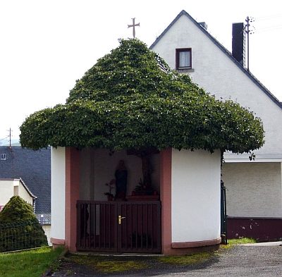
St. Josef-Kapellchen
 590 m
Chapels