Mineral Springs · Undated
Sauerbrunnen


© GeoBasis-DE / LVermGeoRP, dl-de/by-2-0
There is no picture of this object yet. Do you have a photo that you would like to make available to the Kulturdatenbank? Submit a picture
Classification
- Subject area
- Natural Features
- Category
- Springs
- Object type
- Mineral Springs
- Date
- Undatiert
- Period
- Undated
Location
- District
- Vulkaneifel
- Collective municipality
- Gerolstein
- Municipality
- Ormont
- Field name
- In der Dreiswies
- Coordinates
- WGS 84: 50.298305, 6.440898 (Position: exact) WGS 84: 50° 17′ 53.9″ N, 6° 26′ 27.2″ E UTM 32 (ETRS89): E 317745 · N 5574931
Sources
Data sources
- [1] Hessisches Landesamt für geschichtliche Landeskunde http://www.hlgl.de
On the internet
Last edited: 24 Aug 2012 Object ID: 24982
https://kulturdb.de/en/objekt/24982-ormont-sauerbrunnen
Nearby
The nearest objects
 140 m
Wetlands
Sumpfgebiet im Distrikt Heilknipp (1 von 2)
450 m
Wetlands
Sumpfgebiet im Distrikt Heilknipp (1 von 2)
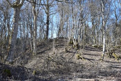 510 m
Castles
Burg Neuenstein
 700 m
Field Names
An der Schlehenheck
No picture
810 m
Wayside Shrines and Stations of the Cross
Wegekreuz
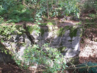 830 m
Fortresses and Bunkers
Westwall - Bunker
No picture
1.0 km
Wayside Shrines and Stations of the Cross
Wegekreuz
1.4 km
Peat Cuttings