Field Names · Undated
An der Schlehenheck


Description
This description is only available in German.
Translate with Google opens this page in Google Translate (external service)
Schle(h)e — Bedeutung: Schlehe (Prunus spinosa). [1]
Classification
- Subject area
- History
- Category
- Field Names
- Date
- Undatiert
- Period
- Undated
Location
- District
- Vulkaneifel
- Collective municipality
- Gerolstein
- Municipality
- Ormont
- Field name
- An der Schlehenheck
- Coordinates
- WGS 84: 50.302220, 6.448527 (Position: exact) WGS 84: 50° 18′ 08.0″ N, 6° 26′ 54.7″ E UTM 32 (ETRS89): E 318303 · N 5575348
Sources
Data sources
- [1] Dittmaier, Heinrich: Rheinische Flurnamen. Ludwig Röhrscheid Verlag, Bonn, 1963.
On the internet
Picture credits
Last edited: 29 Jan 2023 Object ID: 52234
https://kulturdb.de/en/objekt/52234-ormont-an-der-schlehenheck
Nearby
The nearest objects
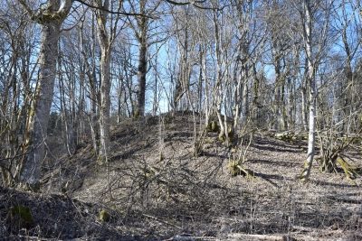 250 m
Castles
Burg Neuenstein
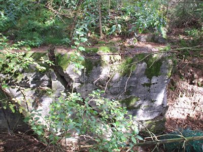 360 m
Fortresses and Bunkers
Westwall - Bunker
No picture
480 m
Wayside Shrines and Stations of the Cross
Wegekreuz
No picture
570 m
Wayside Shrines and Stations of the Cross
Wegekreuz
No picture
700 m
Mineral Springs
Sauerbrunnen
 800 m
Wetlands
Sumpfgebiet im Distrikt Heilknipp (1 von 2)
No picture
880 m
Field Names
Oberm Ameisenbüsch
No picture
900 m
Field Names