Wayside Shrines and Stations of the Cross · Undated
Gipfelkreuz


Description
This description is only available in German.
Translate with Google opens this page in Google Translate (external service)
Auf Höhenpunkt 623.8 Meter über Normal-Null.
Classification
- Subject area
- Architectural and Art Monuments
- Category
- Religious Buildings
- Object type
- Wayside Shrines and Stations of the Cross
- Date
- Undatiert
- Period
- Undated
Location
- District
- Vulkaneifel
- Collective municipality
- Daun
- Municipality
- Hinterweiler
- Field name
- Die Brandscheuer
- Coordinates
- WGS 84: 50.237020, 6.769169 (Position: exact) WGS 84: 50° 14′ 13.3″ N, 6° 46′ 09.0″ E UTM 32 (ETRS89): E 340918 · N 5567365
Sources
Data sources
- GeoPortal des Landes Rheinland-Pfalz. http://www.geoportal.rlp.de/
On the internet
Picture credits
Last edited: 2 Dec 2012 Object ID: 25809
https://kulturdb.de/en/objekt/25809-hinterweiler-gipfelkreuz
Nearby
The nearest objects
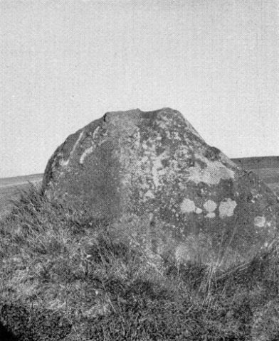 450 m
Standing Stones, Menhirs
Der Spitze Stein
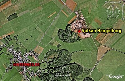 460 m
Volcanoes
Vulkan Hangelberg
No picture
520 m
Extraction and Processing of Raw Materials
Mühlsteinbruch am Hangelberg
No picture
690 m
Temples, Sanctuaries
Römisches Heiligtum
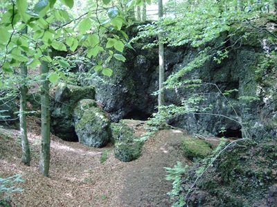 710 m
Caves
Höhle am Ernstberg
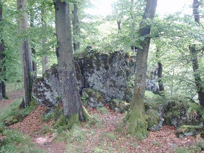 730 m
Viewpoints
Aussichtspunkt Ernstberg
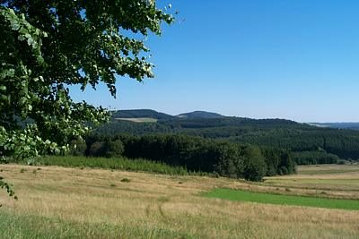 730 m
Rocks
Gipfel des Ernstberges
730 m
Volcanoes