Volcanoes · Undated
Vulkan Ernstberg
Naturdenkmal
- Listed monument


Description
This description is only available in German.
Translate with Google opens this page in Google Translate (external service)
Höhenpunkt 699,0 Meter. Er ist der zweithöchste Berg der Eifel.
Classification
- Subject area
- Natural Features
- Category
- Geological Features
- Object type
- Volcanoes
- Date
- Undatiert
- Period
- Undated
Location
- District
- Vulkaneifel
- Collective municipality
- Daun
- Municipality
- Hinterweiler
- Field name
- Auf Erensberg
- Coordinates
- WGS 84: 50.230482, 6.769007 (Position: exact) WGS 84: 50° 13′ 49.7″ N, 6° 46′ 08.4″ E UTM 32 (ETRS89): E 340884 · N 5566639
Sources
Data sources
- Dr. Rolf Windheim: Der Steffelnkopf im Schnee. Die Eifel - Zeitschrift des Eifelvereins. Heft 1 / 2003. www.eifelverein.de
On the internet
Picture credits
Last edited: 14 Jan 2010 Object ID: 6341
https://kulturdb.de/en/objekt/6341-hinterweiler-vulkan-ernstberg
Nearby
The nearest objects
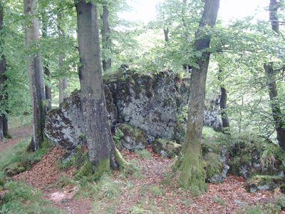 less than 10 m
Viewpoints
Aussichtspunkt Ernstberg
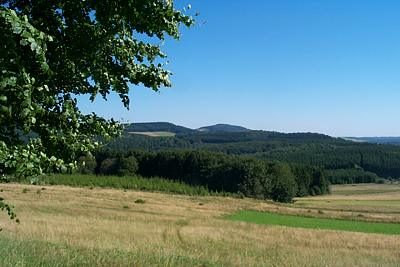 less than 10 m
Rocks
Gipfel des Ernstberges
No picture
less than 10 m
Surveying
Trigonometrisches Signal
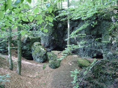 20 m
Caves
Höhle am Ernstberg
No picture
30 m
Extraction and Processing of Raw Materials
Mühlsteinbruch am Ernstberg
No picture
40 m
Temples, Sanctuaries
Römisches Heiligtum
 230 m
Extraction and Processing of Raw Materials
Mühlsteinbruch am Ernstberg
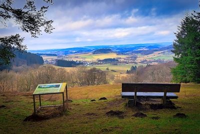 400 m
Viewpoints