Surveying · Historicism / Art Nouveau
Trigonometrisches Signal
- Listed monument


© GeoBasis-DE / LVermGeoRP, dl-de/by-2-0
There is no picture of this object yet. Do you have a photo that you would like to make available to the Kulturdatenbank? Submit a picture
Description
This description is only available in German.
Translate with Google opens this page in Google Translate (external service)
Ernst- oder Erresberg (700m). Zweithöchste Spitze der Eifel mit schöner Bergform, prächtiger Aussicht und hochinteressanten Resten vulkanischer Tätigkeit. Die Spitze ist unterhöhlt zum Zwecke der Gewinnung von Lavamühlsteinen und bedeckt mit zahlreichen vulkanischen Auswürflingen. Das trigonometrische Gerüst ist baufällig. In der Nähe der Eingang zur Höhle, die mehr als 200m lang ist. [1]
Classification
- Subject area
- Architectural and Art Monuments
- Category
- Markers and Monuments
- Object type
- Surveying
- Date
- 1913
Location
- District
- Vulkaneifel
- Collective municipality
- Daun
- Municipality
- Hinterweiler
- Field name
- Auf Erensberg
- Coordinates
- WGS 84: 50.230462, 6.769033 (Position: exact) WGS 84: 50° 13′ 49.7″ N, 6° 46′ 08.5″ E UTM 32 (ETRS89): E 340886 · N 5566637
Sources
Data sources
- [1] Hoitz, Hans: 200 Wanderungen bei Köln, Bonn und in der Eifel, im Westerwald und im Bergischen Lande / von Hans Hoitz. Hrsg. im Auftr. d. Ortsgruppe Köln des Eifelvereins. Bonn : Georgi, 1913/14
- https://www.dilibri.de/id/2210512
On the internet
Last edited: 13 Jul 2020 Object ID: 49608
https://kulturdb.de/en/objekt/49608-hinterweiler-trigonometrisches-signal
Nearby
The nearest objects
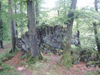 less than 10 m
Viewpoints
Aussichtspunkt Ernstberg
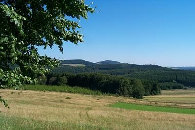 less than 10 m
Rocks
Gipfel des Ernstberges
less than 10 m
Volcanoes
Vulkan Ernstberg
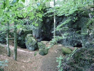 20 m
Caves
Höhle am Ernstberg
Extraction and Processing of Raw Materials
Mühlsteinbruch am Ernstberg
Temples, Sanctuaries
Römisches Heiligtum
 230 m
Extraction and Processing of Raw Materials
Mühlsteinbruch am Ernstberg
 400 m
Viewpoints