Wayside Shrines and Stations of the Cross · Undated
Wegekreuz
- Listed monument


© GeoBasis-DE / LVermGeoRP, dl-de/by-2-0
There is no picture of this object yet. Do you have a photo that you would like to make available to the Kulturdatenbank? Submit a picture
Classification
- Subject area
- Architectural and Art Monuments
- Category
- Religious Buildings
- Object type
- Wayside Shrines and Stations of the Cross
- Date
- Undatiert
- Period
- Undated
Location
- District
- Vulkaneifel
- Collective municipality
- Gerolstein
- Municipality
- Densborn
- Field name
- Im Käulerloch
- Coordinates
- WGS 84: 50.115020, 6.653300 (Position: exact) WGS 84: 50° 06′ 54.1″ N, 6° 39′ 11.9″ E UTM 32 (ETRS89): E 332229 · N 5554056
Sources
Data sources
- [1] Denkmalliste der Generaldirektion Kulturelles Erbe, Rheinland-Pfalz; 2009.
On the internet
Last edited: 23 Jun 2013 Object ID: 28500
https://kulturdb.de/en/objekt/28500-densborn-wegekreuz
Nearby
The nearest objects
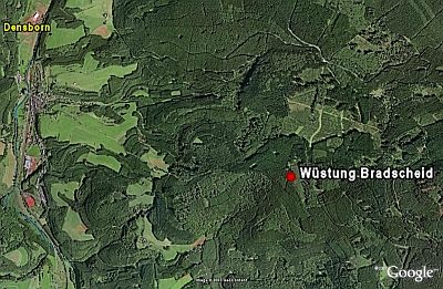 1.0 km
Deserted Settlements
Wüstung Bradscheid
No picture
1.0 km
Surveying
Trigonometrisches Signal auf Pratscheid
No picture
1.0 km
Field Names
Oberm Erzweg
No picture
1.1 km
Field Names
Nonnenbüsch
 1.5 km
Firs
Weißtanne bei Salm
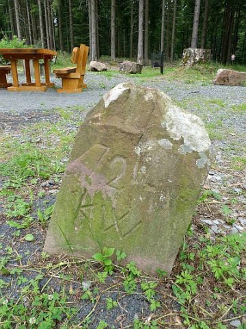 1.7 km
Surveying
Grenzstein am siebenarmigen Wegweiser
No picture
1.7 km
Field Names
In Rosborn
No picture
1.8 km
Wayside Shrines and Stations of the Cross