Firs · 20th Century
Weißtanne bei Salm
Naturdenkmal
- Listed monument

Description
This description is only available in German.
Translate with Google opens this page in Google Translate (external service)
Abies alba
Links der Straße Meisburg - Densborn, ca. 2 km nordwestlich von Meisburg.
Stammumfang ca. 3 m
Von den ursprünglich 6 geschützten Weißtannen musste 1984 die vorletzte aus Sicherheitsgründen gefällt werden. Der Baum zeigte sehr ausgeprägt Symptome des Waldsterbens.
Classification
- Subject area
- Natural Features
- Category
- Trees
- Object type
- Firs
- Date
- 16.04.1938 [Unterschutzstellung]
- Period
- 20th Century
Location
- District
- Vulkaneifel
- Collective municipality
- Gerolstein
- Municipality
- Salm
- Field name
- Am Mückenberg
- Coordinates
- WGS 84: 50.126287, 6.663652 (Position: exact) WGS 84: 50° 07′ 34.6″ N, 6° 39′ 49.1″ E UTM 32 (ETRS89): E 333008 · N 5555286
Sources
Data sources
- Rita Gehendges: Naturdenkmale des Landkreises Daun. 1985. Hrsg.: Landkreis Daun.
On the internet
Picture credits
- Picture 1: Peter Valerius, Kordel, 2005.
Last edited: 21 Feb 2012 Object ID: 5135
https://kulturdb.de/en/objekt/5135-salm-weisstanne-bei-salm
Nearby
The nearest objects
 770 m
Deserted Settlements
Wüstung Mückenberg
Field Names
Am Heizborn
1.3 km
Deserted Settlements
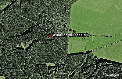
Wüstung Hillscheid
Field Names
Der Hirschborn
Fountains and Wells
Hirschborn
Wayside Shrines and Stations of the Cross
Wegekreuz
Field Names
In Oberroth
Field Names