Place Names / Local History · Gothic
Ortsgeschichte Kolverath


© GeoBasis-DE / LVermGeoRP, dl-de/by-2-0
There is no picture of this object yet. Do you have a photo that you would like to make available to the Kulturdatenbank? Submit a picture
Description
This description is only available in German.
Translate with Google opens this page in Google Translate (external service)
1324 Curia in Kolferrat.
Am 8. Mai 1444 Colvenraid.
1542und1552 ColveraitundKolffraed, Colverod,Kolbenrath. [1]
Classification
- Subject area
- History
- Category
- Place Names / Local History
- Date
- 1324
- Period
- Gothic
Location
- District
- Vulkaneifel
- Collective municipality
- Kelberg
- Municipality
- Kolverath
- Field name
- Ortslage
- Coordinates
- WGS 84: 50.270368, 6.970024 (Position: within the village) WGS 84: 50° 16′ 13.3″ N, 6° 58′ 12.1″ E UTM 32 (ETRS89): E 355341 · N 5570663
Sources
Data sources
- [1] Erich Mertes-Kolverath: Die Dörfer der Verbandsgemeinde Kelberg, Ihre erste Erwähnung und Nennung in der Literatur. Landeskundliche Vierteljahresblätter. Jahrgang 32, 1986, Heft 3, (Auszug)
On the internet
Last edited: 3 May 2001 Object ID: 3124
https://kulturdb.de/en/objekt/3124-kolverath-ortsgeschichte-kolverath
Nearby
The nearest objects
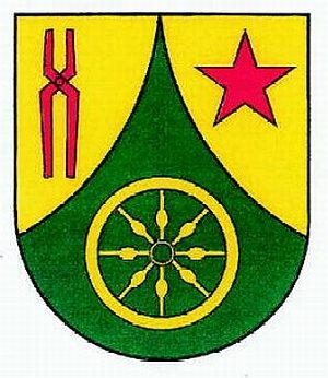 less than 10 m
Coats of Arms
Wappen der Gemeinde Kolverath
Chapels
Sankt Apollonia
 50 m
Commemorative Plantings
Kaiserlinde mit Gedenkstein
Farmhouses and Farm Buildings
Streckhof
Field Names
In den Murtenfeldern
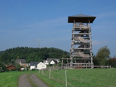 290 m
Observation Towers
Aussichtsturm Eifelguck
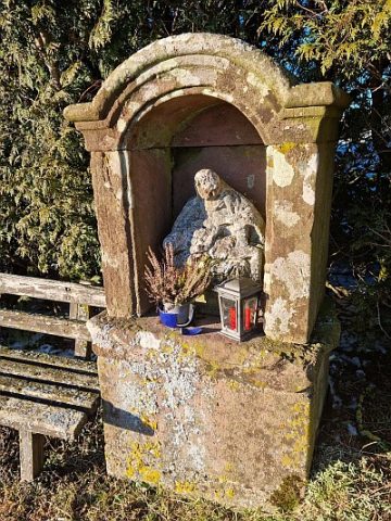 380 m
Wayside Shrine Houses
Heiligenhäuschen
Field Names