Kolverath
22 heritage sites in Kolverath in the Kulturdatenbank Region Trier.
The map shows all 22 results.
-
Alter Steinbruch
Geschichtsstraße - Station 11
Economy, Trade and Transport Extraction and Processing of Raw Materials ID 6302
-
Auf der Kehr
Field Names ID 38136
-
Auf der Schlehenheck
Field Names ID 52233
-
Grabhügelnekropole
Burials Burial Mounds ID 12186
-
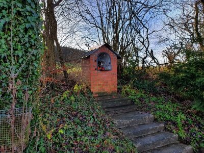
Heiligenhäuschen
Religious Buildings Wayside Shrine Houses ID 30270
-
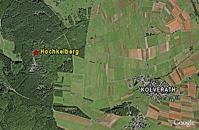
Hochkelberg
Gipfelburg (Ringabschnittswall)
Fortifications and Military Sites Hilltop Castles ID 5753
-
Hügel am Hochkelberg
Burials Burial Mounds ID 12187
-
In dem krummen Acker
Field Names ID 42382
-
In den Murtenfeldern
Field Names ID 41652
-
In der Unterstruth
Field Names ID 26889
-
In der Winkelswiese
Field Names ID 39929
-
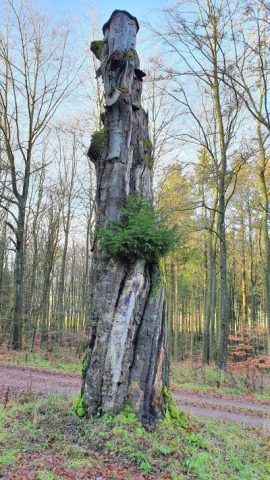
Kaiserlinde mit Gedenkstein
Markers and Monuments Commemorative Plantings ID 6938
-
Ortsgeschichte Kolverath
Place Names / Local History ID 3124
-
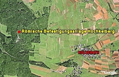
Römische Befestigungsanlage Hochkelberg
Geschichtsstraße - Station 7
Fortifications and Military Sites Hilltop Castles ID 6299
-
Spätrömische Siedlung
Settlements Settlements ID 12185
-
Streckhof
Residential and Farm Buildings Farmhouses and Farm Buildings ID 16497
-
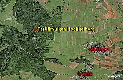
Tertiärvulkan Hochkelberg
Geological Features Volcanoes ID 6300
-
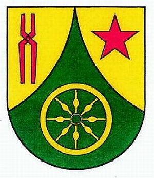
Wappen der Gemeinde Kolverath
Coats of Arms ID 10064