Volcanoes · Undated
Tertiärvulkan Hochkelberg


Description
This description is only available in German.
Translate with Google opens this page in Google Translate (external service)
Einer der höchsten Berge in der Eifel (675 Meter über Normal-Null).
Als Tertiärvulkan bildet er die Wasserscheide zwischen Mosel und Ahr (seit 1980 Naturschutzgebiet).
Classification
- Subject area
- Natural Features
- Category
- Geological Features
- Object type
- Volcanoes
- Date
- Undatiert
- Period
- Undated
Location
- District
- Vulkaneifel
- Collective municipality
- Kelberg
- Municipality
- Kolverath
- Field name
- Auf Hochkelberg
- Coordinates
- WGS 84: 50.273951, 6.953123 (Position: exact) WGS 84: 50° 16′ 26.2″ N, 6° 57′ 11.2″ E UTM 32 (ETRS89): E 354147 · N 5571095
Sources
Data sources
- Internet
On the internet
guenter-hauenstein.de/index.html
Picture credits
Last edited: 6 Dec 2007 Object ID: 6300
https://kulturdb.de/en/objekt/6300-kolverath-tertiaervulkan-hochkelberg
Nearby
The nearest objects
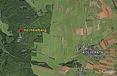 less than 10 m
Hilltop Castles
Hochkelberg
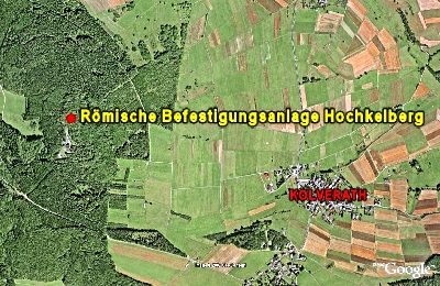 less than 10 m
Hilltop Castles
Römische Befestigungsanlage Hochkelberg
Settlements
Spätrömische Siedlung
 440 m
Execution Sites
Dreiländereck
Field Names
Ober dem Heinschenborn
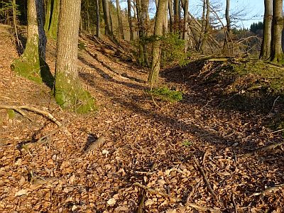 540 m
Road Transport
Hohlwege
 590 m
Wayside Shrines and Stations of the Cross
Sassener Kreuz
Burial Mounds