Field Names · Undated
Auf der Schlehenheck


Description
This description is only available in German.
Translate with Google opens this page in Google Translate (external service)
Schle(h)e — Bedeutung: Schlehe (Prunus spinosa). [1]
Classification
- Subject area
- History
- Category
- Field Names
- Date
- Undatiert
- Period
- Undated
Location
- District
- Vulkaneifel
- Collective municipality
- Kelberg
- Municipality
- Kolverath
- Field name
- Auf der Schlehenheck
- Coordinates
- WGS 84: 50.268570, 6.974794 (Position: exact) WGS 84: 50° 16′ 06.9″ N, 6° 58′ 29.3″ E UTM 32 (ETRS89): E 355675 · N 5570454
Sources
Data sources
- [1] Dittmaier, Heinrich: Rheinische Flurnamen. Ludwig Röhrscheid Verlag, Bonn, 1963.
On the internet
oberes-elztal.de/flashed/start.htm
Picture credits
Last edited: 29 Jan 2023 Object ID: 52233
https://kulturdb.de/en/objekt/52233-kolverath-auf-der-schlehenheck
Nearby
The nearest objects
No picture
170 m
Field Names
Auf der Kehr
No picture
200 m
Legal Monuments
Grenze Sassen - Kolverath
No picture
250 m
Extraction and Processing of Raw Materials
Alter Steinbruch
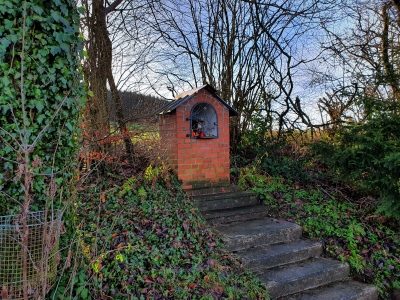 320 m
Wayside Shrine Houses
Heiligenhäuschen
No picture
360 m
Field Names
In den Murtenfeldern
No picture
370 m
Field Names
Auf dem Leichenweg
No picture
390 m
Place Names / Local History
Ortsgeschichte Kolverath
No picture
450 m
Field Names