Place Names / Local History · Renaissance
Ortsgeschichte Sickerath


© GeoBasis-DE / LVermGeoRP, dl-de/by-2-0
There is no picture of this object yet. Do you have a photo that you would like to make available to the Kulturdatenbank? Submit a picture
Description
This description is only available in German.
Translate with Google opens this page in Google Translate (external service)
Sickerath, heutiger Ortsteil von Mannebach, wird 1552 als eigener Ort Sikkerodt genannt. [1]
Classification
- Subject area
- History
- Category
- Place Names / Local History
- Date
- 1552
- Period
- Renaissance
Location
- District
- Vulkaneifel
- Collective municipality
- Kelberg
- Municipality
- Mannebach (Vulkaneifel)
- Locality / location
- Sickerath
- Field name
- Ortslage
- Coordinates
- WGS 84: 50.283149, 6.990572 (Position: within the village) WGS 84: 50° 16′ 59.3″ N, 6° 59′ 26.1″ E UTM 32 (ETRS89): E 356843 · N 5572045
Sources
Data sources
- [1] Erich Mertes-Kolverath: Die Dörfer der Verbandsgemeinde Kelberg, Ihre erste Erwähnung und Nennung in der Literatur. Landeskundliche Vierteljahresblätter. Jahrgang 32, 1986, Heft 3, (Auszug)
On the internet
Last edited: 3 May 2001 Object ID: 3128
https://kulturdb.de/en/objekt/3128-mannebach-vulkaneifel-ortsgeschichte-sickerath
Nearby
The nearest objects
Field Names
Auf dem Brückenpesch
Field Names
Im Trinkbornsgarten
 260 m
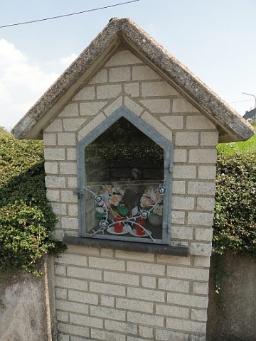
Wayside Shrine Houses
Heiligenhäuschen
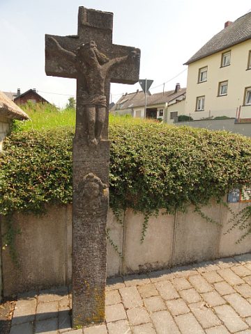 260 m
Wayside Shrines and Stations of the Cross
Schaftkreuz
Field Names
Im Bornberg
Field Names
Ober dem Trinkborn im Flur
Farmhouses and Farm Buildings
Fachwerkhaus
 400 m
Settlements