Wayside Shrine Houses · Undated
Heiligenhäuschen


Classification
- Subject area
- Architectural and Art Monuments
- Category
- Religious Buildings
- Object type
- Wayside Shrine Houses
- Date
- Undatiert
- Period
- Undated
Location
- District
- Vulkaneifel
- Collective municipality
- Kelberg
- Municipality
- Mannebach (Vulkaneifel)
- Locality / location
- Mannebach
- Street
- Ecke Hauptstraße / Auf dem Heidchen
- Field name
- Ortslage
- Coordinates
- WGS 84: 50.281600, 6.987880 (Position: exact) WGS 84: 50° 16′ 53.8″ N, 6° 59′ 16.4″ E UTM 32 (ETRS89): E 356647 · N 5571878
Sources
Data sources
- [1] Helmut Bauer, Trier, 2015.
On the internet
vgv-kelberg.de/vg_kelberg/Gemeinden/Mannebach
Picture credits
Last edited: 6 Jan 2015 Object ID: 36033
https://kulturdb.de/en/objekt/36033-mannebach-vulkaneifel-heiligenhaeuschen
Nearby
The nearest objects
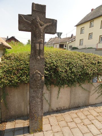 less than 10 m
Wayside Shrines and Stations of the Cross
Schaftkreuz
No picture
140 m
Farmhouses and Farm Buildings
Fachwerkhaus
 150 m
Commemorative Plantings
Kaiserlinde mit Gedenkstein
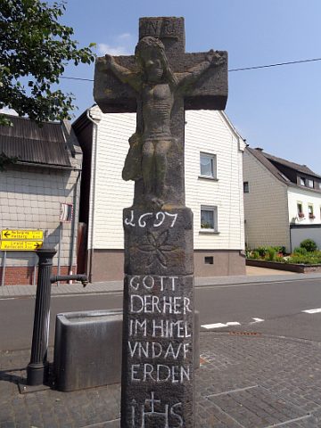 160 m
Wayside Shrines and Stations of the Cross
Wegekreuz
No picture
160 m
Wayside Shrines and Stations of the Cross
Wegekreuz
No picture
170 m
Field Names
Im nassen Feld
 180 m
Museums
Bauernmuseum
No picture
260 m
Field Names