Wayside Shrines and Stations of the Cross · Renaissance
Nischenkreuz
- Listed monument


© GeoBasis-DE / LVermGeoRP, dl-de/by-2-0
There is no picture of this object yet. Do you have a photo that you would like to make available to the Kulturdatenbank? Submit a picture
Description
This description is only available in German.
Translate with Google opens this page in Google Translate (external service)
Aus Basaltlava, südwestlich der Ortslage an der Straße nach Neuendorf. [1]
Classification
- Subject area
- Architectural and Art Monuments
- Category
- Religious Buildings
- Object type
- Wayside Shrines and Stations of the Cross
- Date
- Vor dem 18. Jahrhundert
- Period
- Renaissance
Location
- District
- Vulkaneifel
- Collective municipality
- Gerolstein
- Municipality
- Reuth
- Street
- Dorfstraße
- Field name
- In den Hüveln
- Coordinates
- WGS 84: 50.292250, 6.483200 (Position: exact) WGS 84: 50° 17′ 32.1″ N, 6° 28′ 59.5″ E UTM 32 (ETRS89): E 320735 · N 5574155
Sources
Data sources
- [1] Denkmalliste des Landes Rheinland-Pfalz (Stand: 3. Januar 2013).
On the internet
Last edited: 26 Mar 2014 Object ID: 33020
https://kulturdb.de/en/objekt/33020-reuth-nischenkreuz
Nearby
The nearest objects
Field Names
In der Krummbach
Field Names
Auf der Krummbach
Chapels
Filialkapelle Sankt Nikolaus
Place Names / Local History
Ortsname / Ortsgeschichte
 390 m
Coats of Arms
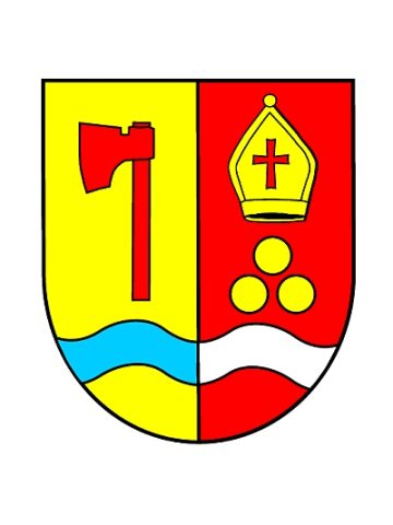
Wappen der Gemeinde Reuth
Wayside Shrines and Stations of the Cross
Wegekreuz
Field Names
In den Vierteln
War Memorials