Place Names / Local History · Undated
Ortsname / Ortsgeschichte


© GeoBasis-DE / LVermGeoRP, dl-de/by-2-0
There is no picture of this object yet. Do you have a photo that you would like to make available to the Kulturdatenbank? Submit a picture
Description
This description is only available in German.
Translate with Google opens this page in Google Translate (external service)
Der Ortsname ist ein sogenannter Rodename und verweist auf eine Entstehung im 9.- 10. Jahrhundert. Im Mittelalter (1335) gehörte der Ort zum Herrschaftsbereich der Grafen von Blankenheim als Teil des Lehens Stadt Kyle. 1469 gehen die gesamten Besitztümer der Grafen von Blankenheim an die Herrschaft Manderscheid über. Der Ort Neureuth entstand 1814, als Brasilienauswanderer aus dem Hunsrück sich hier sesshaft machten. 187071 wanderten 17 Familien nach Amerika aus.
Classification
- Subject area
- History
- Category
- Place Names / Local History
- Date
- Undatiert
- Period
- Undated
Location
- District
- Vulkaneifel
- Collective municipality
- Gerolstein
- Municipality
- Reuth
- Field name
- Ortslage
- Coordinates
- WGS 84: 50.294931, 6.486629 (Position: within the village) WGS 84: 50° 17′ 41.8″ N, 6° 29′ 11.9″ E UTM 32 (ETRS89): E 320989 · N 5574445
Sources
Data sources
- http://www.eifeltour.de/ Copyright © Marzellus Boos.
On the internet
Last edited: 21 Jul 2001 Object ID: 3372
https://kulturdb.de/en/objekt/3372-reuth-ortsname-ortsgeschichte
Nearby
The nearest objects
 less than 10 m
Coats of Arms
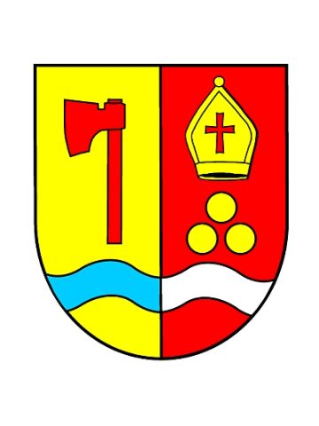
Wappen der Gemeinde Reuth
Chapels
Filialkapelle Sankt Nikolaus
Wayside Shrines and Stations of the Cross
Wegekreuz
Field Names
In der Krummbach
Wayside Shrines and Stations of the Cross
Nischenkreuz
Field Names
Aufm Dreisdriesch
Field Names
Auf der Krummbach
War Memorials