Field Names · Undated
Auf der Leimkaul


© GeoBasis-DE / LVermGeoRP, dl-de/by-2-0
There is no picture of this object yet. Do you have a photo that you would like to make available to the Kulturdatenbank? Submit a picture
Description
This description is only available in German.
Translate with Google opens this page in Google Translate (external service)
Leim – Zu althochdeutsch. leim, leimo ‚Lehm, Schlamm, Ton‘, mittelhochdeutsch leim st. M., leime sw. M., frühneuhochdeutsch leim ‚Lehm‘. Die Flurnamen beziehen sich in den allermeisten Fällen auf Orte, an denen man den Lehm abbaute, der beim Hausbau zum Füllen des Fachwerks und zum Backofenbau verwendet wurde (Leimkaute, -grube). Manchmal weisen die Namen auf die Bodenbeschaffenheit von Flurstücken hin. [1]
Classification
- Subject area
- History
- Category
- Field Names
- Date
- Undatiert
- Period
- Undated
Location
- District
- Eifelkreis Bitburg-Prüm
- Collective municipality
- Verbandsfreie Gemeinde Bitburg
- Town
- Bitburg
- Locality / location
- Masholder
- Field name
- Auf der Leimkaul
- Coordinates
- WGS 84: 49.952418, 6.524507 (Position: exact) WGS 84: 49° 57′ 08.7″ N, 6° 31′ 28.2″ E UTM 32 (ETRS89): E 322423 · N 5536278
Sources
Data sources
- [1] © Hessisches Landesamt für geschichtliche Landeskunde http://www.lagis-hessen.de/de/subjects/gsrec/id/2173/current/1/sn/s…
On the internet
Last edited: 18 Dec 2014 Object ID: 35850
https://kulturdb.de/en/objekt/35850-bitburg-auf-der-leimkaul
Nearby
The nearest objects
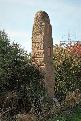 100 m
Works of Art
Großer Wächter
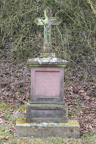 110 m
Wayside Shrines and Stations of the Cross
Gedenkkreuz von 1867
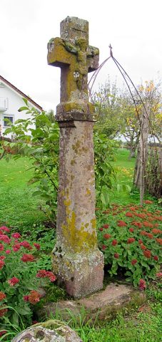 610 m
Wayside Shrines and Stations of the Cross
Wegekreuz von 1739
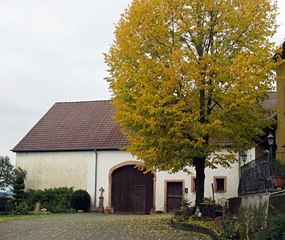 640 m
Wayside Shrines and Stations of the Cross
Wegekreuz an Scheune
 680 m
Farmhouses and Farm Buildings
Treppengiebelhaus von 1813
Farmhouses and Farm Buildings
Winkelhof
 710 m
Surveying
Nivellements-Nummernbolzen
 760 m
Catering, Inns and Hotels