Flood Marks · 20th Century
Hochwassermarken am Kreuzfeld


Description
This description is only available in German.
Translate with Google opens this page in Google Translate (external service)
Die rote Linie im ersten Bild markiert den Hochwasserstand im Januar 2005. [1]
Classification
- Subject area
- Architectural and Art Monuments
- Category
- Markers and Monuments
- Object type
- Flood Marks
- Date
- 1995
- Period
- 20th Century
Location
- District
- Trier-Saarburg
- Collective municipality
- Trier-Land
- Municipality
- Kordel
- Street
- Schulstraße 1
- Field name
- Ortslage
- Coordinates
- WGS 84: 49.839800, 6.633570 (Position: exact) WGS 84: 49° 50′ 23.3″ N, 6° 38′ 00.9″ E UTM 32 (ETRS89): E 329850 · N 5523505
Sources
Data sources
- [1] Peter Valerius, Kordel, 2015.
On the internet
Picture credits
Last edited: 28 Sep 2023 Object ID: 36117
https://kulturdb.de/en/objekt/36117-kordel-hochwassermarken-am-kreuzfeld
Nearby
The nearest objects
 20 m
Works of Art
Zunftzeichen der Bäcker
 30 m
Coats of Arms
Wappen der Gemeinde Kordel
 30 m
Place Names / Local History
Ortsname
 30 m
Farmhouses and Farm Buildings
Ehemaliges Gemeinde-Backhaus
 40 m
Works of Art
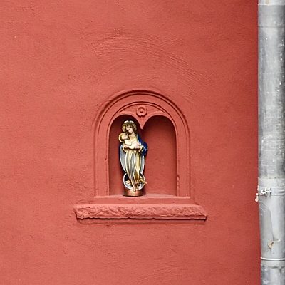
Madonna mit Kind in Rundbogennische
 40 m
Exhibitions, Cultural Centres and Memorial Sites
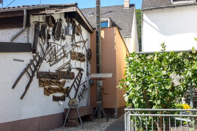
Werkzeugausstellung
 50 m
Wayside Shrines and Stations of the Cross
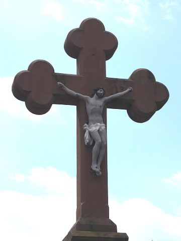
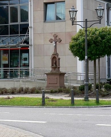
Sankt Josef-Kreuz - Ehemaliger Standort
 50 m
Wayside Shrines and Stations of the Cross