Place Names / Local History · Early Middle Ages / Romanesque
Ortsname

Description
This description is only available in German.
Translate with Google opens this page in Google Translate (external service)
In der ersten Nennung von 1139 wird der erzbischöfliche Hof in Cordule genannt. Die Schreibweise variierte mit Cordele, Cordula und Cordela im 12. und 13. Jahrhundert. Der Ortsname wird vom moselromanischen Cortelle als Bezeichnung für einen kleinen Hof abgeleitet und mit dem erzbischöflichen Fronhof erklärt. [1]
Die Schreibweise 'Cordel' galt bis zum 15. Mai 1936.
Classification
- Subject area
- History
- Category
- Place Names / Local History
- Date
- 1139
Location
- District
- Trier-Saarburg
- Collective municipality
- Trier-Land
- Municipality
- Kordel
- Field name
- Ortslage
- Coordinates
- WGS 84: 49.839558, 6.633427 (Position: within the village) WGS 84: 49° 50′ 22.4″ N, 6° 38′ 00.3″ E UTM 32 (ETRS89): E 329839 · N 5523479
Sources
Data sources
- [1] Denkmaltopographie Bundesrepublik Deutschland. Kulturdenkmäler in Rheinland-Pfalz. Band 12.2 Kreis Trier-Saarburg. Wernersche Verlagsgesellschaft mbH, Worms. ISBN 3-88462-110-6 (1. Auflage 1994)
On the internet
Picture credits
- Picture 1: © Richard Schaffner, Kordel, 2015.
Last edited: 21 May 2020 Object ID: 34378
https://kulturdb.de/en/objekt/34378-kordel-ortsname
Nearby
The nearest objects
 less than 10 m
Coats of Arms
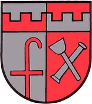
Wappen der Gemeinde Kordel
 10 m
Farmhouses and Farm Buildings
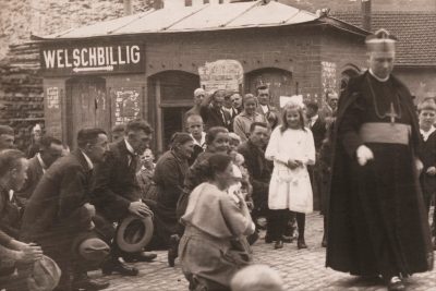
Ehemaliges Gemeinde-Backhaus
 20 m
Wayside Shrines and Stations of the Cross
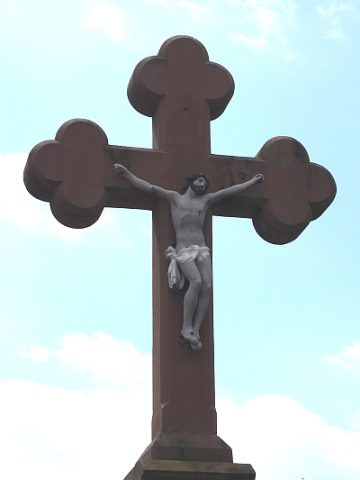
Sankt Josef-Kreuz - Ehemaliger Standort
 20 m
Wayside Shrines and Stations of the Cross
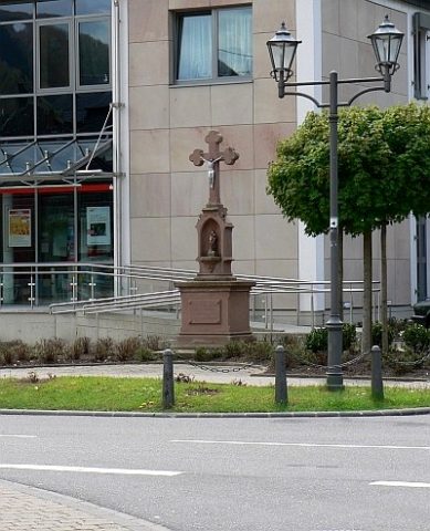
Sankt Josef-Kreuz
 30 m
Place Names / Local History
Ortsgeschichte
 30 m
Flood Marks
Hochwassermarken am Kreuzfeld
 30 m
Wayside Shrines and Stations of the Cross
Bildstock Maria Himmelfahrt
 40 m
Field Names