Farmhouses and Farm Buildings · 20th Century
Ehemaliges Gemeinde-Backhaus

Description
This description is only available in German.
Translate with Google opens this page in Google Translate (external service)
Später öffentliche Waage, heute Bankgebäude. [1]
Classification
- Subject area
- Architectural and Art Monuments
- Category
- Residential and Farm Buildings
- Object type
- Farmhouses and Farm Buildings
- Date
- Um 1924
- Period
- 20th Century
Location
- District
- Trier-Saarburg
- Collective municipality
- Trier-Land
- Municipality
- Kordel
- Street
- Kreuzfeld 6
- Field name
- Am Hansenpesch
- Coordinates
- WGS 84: 49.839583, 6.633246 (Position: exact) WGS 84: 49° 50′ 22.5″ N, 6° 37′ 59.7″ E UTM 32 (ETRS89): E 329826 · N 5523482
Sources
Data sources
- [1] Richard Schaffner, Kordel, 2021.
On the internet
Picture credits
- Picture 1: Ansichtskarte von 1924, Sammlung Peter Valerius, Kordel, 2021. (Ausschnitt)
Last edited: 24 Mar 2021 Object ID: 44357
https://kulturdb.de/en/objekt/44357-kordel-ehemaliges-gemeinde-backhaus
Nearby
The nearest objects
 10 m
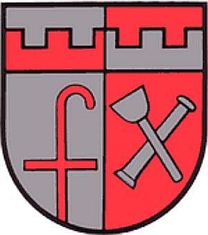
Coats of Arms
Wappen der Gemeinde Kordel
 10 m
Place Names / Local History
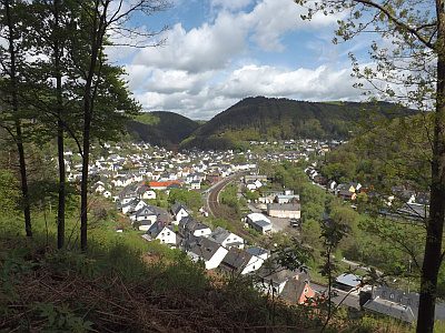
Ortsname
 20 m
Place Names / Local History
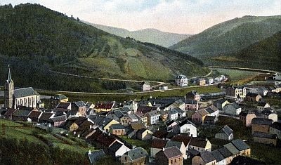
Ortsgeschichte
 20 m
Wayside Shrines and Stations of the Cross
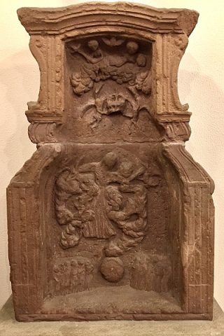
Bildstock Maria Himmelfahrt
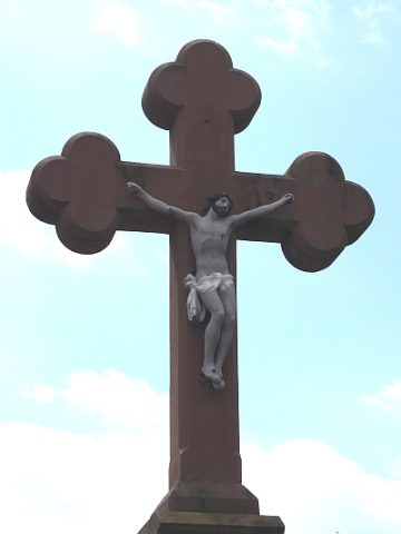 30 m
Wayside Shrines and Stations of the Cross
Sankt Josef-Kreuz - Ehemaliger Standort
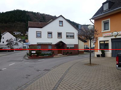 30 m
Flood Marks
Hochwassermarken am Kreuzfeld
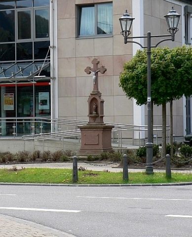 30 m
Wayside Shrines and Stations of the Cross
Sankt Josef-Kreuz
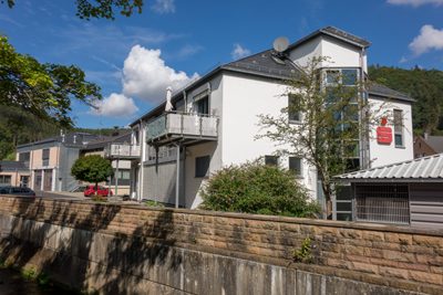 50 m
Field Names