Street Names · Undated
Lindenstraße


Description
This description is only available in German.
Translate with Google opens this page in Google Translate (external service)
"De Lonn" [= die Linde] oder "de Ram" [= gerodeter bzw. geräumter Platz] sind alte Bezeichnungen für die Lindenstraße. [1]
Classification
- Subject area
- History
- Category
- Place Names / Local History
- Object type
- Street Names
- Date
- Undatiert
- Period
- Undated
Location
- District
- Vulkaneifel
- Town
- Gerolstein
- Street
- Lindenstraße
- Field name
- In Buchen
- Coordinates
- WGS 84: 50.230030, 6.651810 (Position: exact) WGS 84: 50° 13′ 48.1″ N, 6° 39′ 06.5″ E UTM 32 (ETRS89): E 332525 · N 5566845
Sources
Data sources
- [1] Wilma Herzog, Gerolstein, 2015.
- [2] Flurnamenweg - Die Landschaft und ihre Namen. Hrsg. Gemeinde Grainau http://www.grainau.de
On the internet
Picture credits
Last edited: 10 Jun 2018 Object ID: 39683
https://kulturdb.de/en/objekt/39683-gerolstein-lindenstrasse
Nearby
The nearest objects
No picture
150 m
Lime Kilns
Ehemaliger Kalkofen
 440 m
Engineering Structures and Industrial Sites
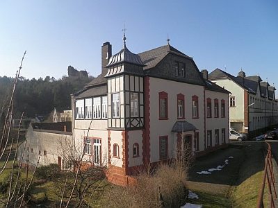
Ehemalige Drahtwarenfabrik Oos
 440 m
Engineering Structures and Industrial Sites
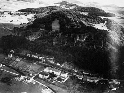
Ehemalige Drahtwarenfabrik Oos - Historische Fotos
 450 m
Viewpoints
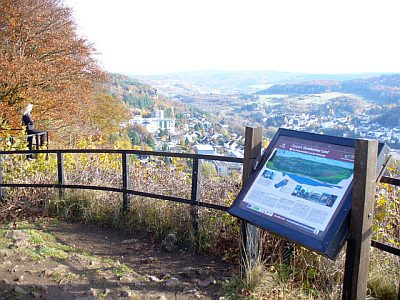
Aussichtspunkt Munterley
 460 m
Rocks
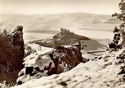
Gerolsteiner Dolomiten - Auberg (2)
 460 m
Rocks
Munterley
No picture
460 m
Viewpoints
Aussichtspunkt am Auberg
 470 m
Rocks