Field Names · Undated
Unten im Winkeltal


© GeoBasis-DE / LVermGeoRP, dl-de/by-2-0
There is no picture of this object yet. Do you have a photo that you would like to make available to the Kulturdatenbank? Submit a picture
Description
This description is only available in German.
Translate with Google opens this page in Google Translate (external service)
Winkel = Deutung: Zu althochdeutsch winkil, mittelhochdeutsch winkel st.M. 'Winkel, Ecke, Ende, abseits gelegener Raum'. Es handelt sich vielfach, insbesondere bei Komposita mit dem GT Winkel, um einen Formnamen für spitz zulaufende, von einer Weg- oder Flussbiegung oder einem Knick im Grenzverlauf begrenzte Flurstücke. Daneben tragen auch weit abgelegene oder verborgene Stellen häufig den Namen im Winkel. [1]
Classification
- Subject area
- History
- Category
- Field Names
- Date
- Undatiert
- Period
- Undated
Location
- District
- Vulkaneifel
- Collective municipality
- Daun
- Municipality
- Mückeln
- Field name
- Unten im Winkeltal
- Coordinates
- WGS 84: 50.096061, 6.939525 (Position: exact) WGS 84: 50° 05′ 45.8″ N, 6° 56′ 22.3″ E UTM 32 (ETRS89): E 352632 · N 5551344
Sources
Data sources
- [1] Landesgeschichtliches Informationssystem Hessen (LAGIS), 2015. http://cgi-host.uni-marburg.de/~hlgl/mhfb/id.cgi?lines=0&ex=rs&tabl…
On the internet
Last edited: 6 Dec 2015 Object ID: 39878
https://kulturdb.de/en/objekt/39878-mueckeln-unten-im-winkeltal
Nearby
The nearest objects
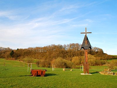 150 m
Deserted Settlements
Schutzalf
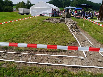 190 m
Pilgrimage Sites
Schutzalf - Ehemalige Kapelle
190 m
Markers and Monuments
Schutzalf - Glockenturm als Erinnerungsstätte
Field Names
Auf der Breitwies
Field Names
Am Grufenbüsch
Field Names
In der Gruf
Field Names
Auf dem Bohnenpesch
Field Names