Geological Features · 20th Century
Beilstein
Naturdenkmal
- Listed monument


Description
This description is only available in German.
Translate with Google opens this page in Google Translate (external service)
Naturdenkmal Beilstein [1]
Aufschlusspunkt 7 des GEO-PFAD
Die herausgewitterte tertiäre Basaltkuppe Beilstein befindet sich in der Gemarkung Dohm-Lammersdorf. Auf einer Fläche von circa 60x60 Metern durchstößt hier der Basalt den Buntsandstein. Die Basaltfelsen und das Blockfeld im Bereich des Gipfels stehen seit 1939 unter Schutz. [2]
Classification
- Subject area
- Natural Features
- Category
- Geological Features
- Date
- 25.09.1939 [Unterschutzstellung]
- Period
- 20th Century
Location
- District
- Vulkaneifel
- Collective municipality
- Gerolstein
- Municipality
- Dohm-Lammersdorf
- Locality / location
- Dohm
- Field name
- Beilstein
- Coordinates
- WGS 84: 50.260440, 6.652180 (Position: exact) WGS 84: 50° 15′ 37.6″ N, 6° 39′ 07.8″ E UTM 32 (ETRS89): E 332658 · N 5570225
Sources
Data sources
- [1] LANIS - Landschaftsinformationssysten der Naturschutzverwaltung Rheinland-Pfalz, 2015. http://www.naturschutz.rlp.de/?q=naturdenkmal
- [2] © Marzellus Boos http://www.eifeltour.de/
On the internet
Picture credits
Last edited: 23 May 2015 Object ID: 4063
https://kulturdb.de/en/objekt/4063-dohm-lammersdorf-beilstein
Nearby
The nearest objects
Extraction and Processing of Raw Materials
Mühlsteinbruch Beilstein
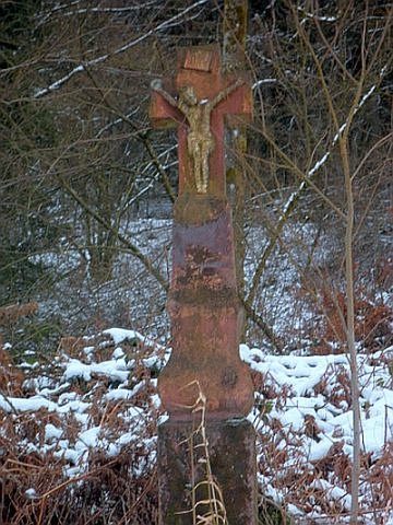 330 m
Wayside Shrines and Stations of the Cross
Wegekreuz am Bewinger Berg
Mills
Dohmer Mühle am Lindenbach
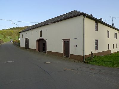 520 m
Mills
Dohmer Mühle an der Kyll
Field Names
Auf der Stierwies
 540 m
Wayside Shrines and Stations of the Cross
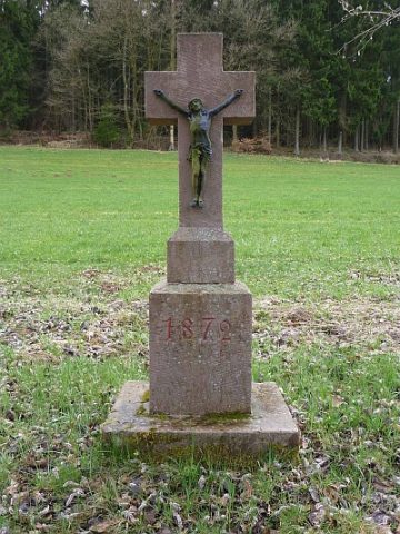
Wegekreuz von 1872
Field Names
In der Sauerwies
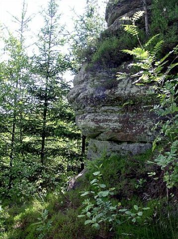 700 m
Rocks