Place Names / Local History · Early Middle Ages / Romanesque
Ortsgeschichte Wiesbaum


© GeoBasis-DE / LVermGeoRP, dl-de/by-2-0
There is no picture of this object yet. Do you have a photo that you would like to make available to the Kulturdatenbank? Submit a picture
Description
This description is only available in German.
Translate with Google opens this page in Google Translate (external service)
Wiesbaum hieß im Jahre 804:Wisibanio = die Wiese im Bann, begrenztes, eingehegtes Wiesenland. Nach der Gemeinde nannte sich später ein Rittergeschlecht: von Weysseben (= Wiesbaum).
In der Feudalzeit gehörte der Ort zur Herrschaft Jünkerath. Die Herren von Mirbach und das Kloster Sankt Thomas besaßen Güter in Wiesbaum. Unter französischer Verwaltung war das Dorf Sitz einer Mairie, zu der Esch und Mirbach gehörten. Unter Preußen gehörte Wiesbaum zur Amtsbürgermeisterei Lissendorf.
Classification
- Subject area
- History
- Category
- Place Names / Local History
- Date
- 804
Location
- District
- Vulkaneifel
- Collective municipality
- Gerolstein
- Municipality
- Wiesbaum
- Field name
- Ortslage
- Coordinates
- WGS 84: 50.339539, 6.675359 (Position: within the village) WGS 84: 50° 20′ 22.3″ N, 6° 40′ 31.3″ E UTM 32 (ETRS89): E 334584 · N 5578967
Sources
Data sources
- © Marzellus Boos http://www.eifeltour.de/
On the internet
Last edited: 11 Feb 2002 Object ID: 4077
https://kulturdb.de/en/objekt/4077-wiesbaum-ortsgeschichte-wiesbaum
Nearby
The nearest objects
Field Names
Auf dem Bungert
 210 m
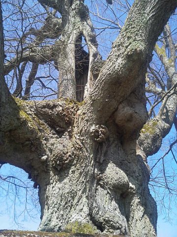
Lime Trees
Linde
 210 m
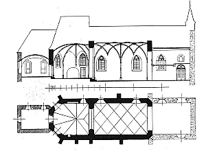
Catholic Churches
Friedhofskirche
 210 m
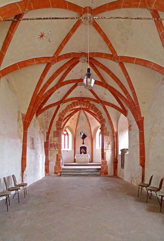
Catholic Churches
Friedhofskirche - Reste von Wandmalereien
 260 m
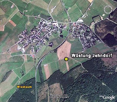
Deserted Settlements
Wüstung Jehndorf
 350 m
Catholic Churches
Sankt Martin (1)
 350 m
Catholic Churches
Sankt Martin (2)
 410 m
Wayside Shrines and Stations of the Cross