Deserted Settlements · Gothic
Wüstung Jehndorf

Description
This description is only available in German.
Translate with Google opens this page in Google Translate (external service)
Auch Gehndorf. 1335 Igenedorpp. 1809 / 10 auf der Tranchot-Karte: Gendorff. [1]
Classification
- Subject area
- Archaeological Monuments
- Category
- Settlements
- Object type
- Deserted Settlements
- Date
- Circa 1100 bis circa 1500
- Period
- Gothic
Location
- District
- Vulkaneifel
- Collective municipality
- Gerolstein
- Municipality
- Wiesbaum
- Field name
- Im Gendorfer Sumpf
- Coordinates
- WGS 84: 50.337252, 6.675874 (Position: exact) WGS 84: 50° 20′ 14.1″ N, 6° 40′ 33.1″ E UTM 32 (ETRS89): E 334613 · N 5578712
Sources
Data sources
- [1] Janssen, W.: Studien zur Wüstungsfrage im fränkischen Altsiedelland zwischen Rhein, Mosel und Eifelnordrand. 2 Bände. Text u. Katalog, 1975.
On the internet
Picture credits
- Picture 1: Google Earth
Last edited: 29 Aug 2006 Object ID: 966
https://kulturdb.de/en/objekt/966-wiesbaum-wuestung-jehndorf
Nearby
The nearest objects
No picture
140 m
Field Names
Auf dem Bungert
No picture
260 m
Place Names / Local History
Ortsgeschichte Wiesbaum
 320 m
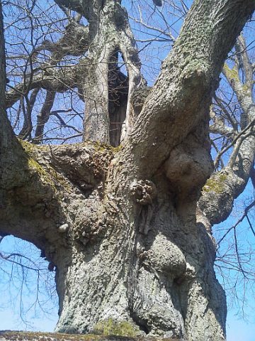
Lime Trees
Linde
 350 m
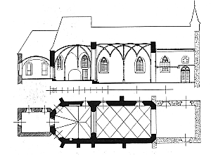
Catholic Churches
Friedhofskirche
 350 m
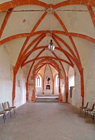
Catholic Churches
Friedhofskirche - Reste von Wandmalereien
 460 m
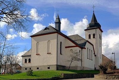
Catholic Churches
Sankt Martin (1)
 460 m
Catholic Churches
Sankt Martin (2)
 600 m
Wayside Shrines and Stations of the Cross