Mineral Springs · Undated
Mineralquelle


© GeoBasis-DE / LVermGeoRP, dl-de/by-2-0
There is no picture of this object yet. Do you have a photo that you would like to make available to the Kulturdatenbank? Submit a picture
Classification
- Subject area
- Natural Features
- Category
- Springs
- Object type
- Mineral Springs
- Date
- Undatiert
- Period
- Undated
Location
- District
- Vulkaneifel
- Collective municipality
- Gerolstein
- Municipality
- Walsdorf
- Field name
- Auf dem oberen Bruch
- Coordinates
- WGS 84: 50.269560, 6.717240 (Position: exact) WGS 84: 50° 16′ 10.4″ N, 6° 43′ 02.1″ E UTM 32 (ETRS89): E 337326 · N 5571095
Sources
Data sources
- [1] Landesamt für Geologie und Bergbau Rheinland-Pfalz, WMS-Dienst Mineral-, Heil- und Thermalwässer. Http://www.lgb-rlp.de/mineralwasser.html
On the internet
Last edited: 1 Jul 2016 Object ID: 41060
https://kulturdb.de/en/objekt/41060-walsdorf-mineralquelle
Nearby
The nearest objects
No picture
300 m
Field Names
Am Essinger Pütz
No picture
320 m
Field Names
Zu den Roden
No picture
370 m
Field Names
Am Tellentriesch
No picture
420 m
Field Names
In der krummen Juch
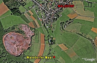 430 m
Volcanoes
Vulkan Walsdorfer Maar
480 m
Dry Maars
Walsdorfer Maar
No picture
650 m
Viewpoints
Aussichtspunkt Orenberg
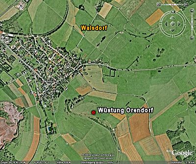 690 m
Deserted Settlements