Execution Sites · Baroque / Rococo
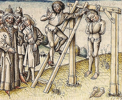
Galgen


Description
This description is only available in German.
Translate with Google opens this page in Google Translate (external service)
Die Ferraris-Karte von 1777 zeigt an dieser Stelle den Galgen. [1]
Classification
- Subject area
- History
- Category
- Legal Monuments
- Object type
- Execution Sites
- Date
- 1777
- Period
- Baroque / Rococo
Location
- District
- Eifelkreis Bitburg-Prüm
- Collective municipality
- Verbandsfreie Gemeinde Bitburg
- Town
- Bitburg
- Locality / location
- Königswäldchen
- Field name
- Königswäldchen
- Coordinates
- WGS 84: 49.987600, 6.526230 (Position: exact) WGS 84: 49° 59′ 15.4″ N, 6° 31′ 34.4″ E UTM 32 (ETRS89): E 322676 · N 5540185
Sources
Data sources
- [1] Carte de Ferraris 1777 http://www.kbr.be/collections/cart_plan/ferraris/ferraris_fr.html
On the internet
Picture credits
Last edited: 7 Aug 2025 Object ID: 41440
https://kulturdb.de/en/objekt/41440-bitburg-galgen
Nearby
The nearest objects
No picture
300 m
Fountains and Wells
Tiefbrunnen
No picture
560 m
Field Names
In den langen Längten
No picture
560 m
Wayside Shrines and Stations of the Cross
Wegekreuz
 910 m
Settlements
Römische Siedlungsspuren
 920 m
Town Houses and Commercial Buildings
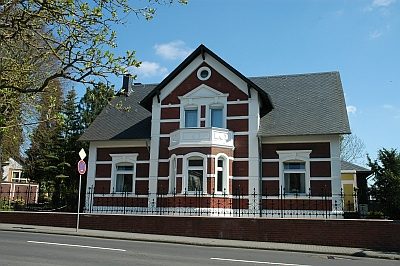
Sogenannte Villa Dressel
No picture
940 m
Field Names
Unter Pützhöh
980 m
Settlements
Römische Siedlungsspuren
 1.1 km
Manorial Residences and Estate Buildings