Fountains and Wells · 20th Century
Tiefbrunnen


© GeoBasis-DE / LVermGeoRP, dl-de/by-2-0
There is no picture of this object yet. Do you have a photo that you would like to make available to the Kulturdatenbank? Submit a picture
Classification
- Subject area
- Architectural and Art Monuments
- Category
- Fountains and Wells
- Date
- 1953
- Period
- 20th Century
Location
- District
- Eifelkreis Bitburg-Prüm
- Collective municipality
- Verbandsfreie Gemeinde Bitburg
- Town
- Bitburg
- Locality / location
- Königswäldchen
- Field name
- Königswäldchen
- Coordinates
- WGS 84: 49.989852, 6.528421 (Position: exact) WGS 84: 49° 59′ 23.5″ N, 6° 31′ 42.3″ E UTM 32 (ETRS89): E 322841 · N 5540430
Sources
Data sources
- Sandra Wack, Neuheilenbach, 2023.
On the internet
Last edited: 13 Sep 2023 Object ID: 52797
https://kulturdb.de/en/objekt/52797-bitburg-tiefbrunnen
Nearby
The nearest objects
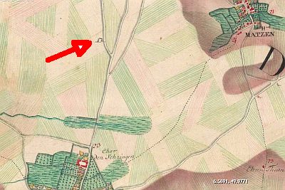 300 m
Execution Sites
Galgen
No picture
570 m
Field Names
In den langen Längten
 640 m
Settlements
Römische Siedlungsspuren
No picture
670 m
Field Names
Unter Pützhöh
No picture
820 m
Wayside Shrines and Stations of the Cross
Wegekreuz
No picture
1.1 km
Field Names
Auf Pützhöh
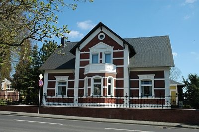 1.2 km
Town Houses and Commercial Buildings
Sogenannte Villa Dressel
1.2 km
Settlements