Viewpoints · Undated
Aussichtspunkt östlich der Ortslage


Description
This description is only available in German.
Translate with Google opens this page in Google Translate (external service)
Höhenpunkt 502,0 Meter über Normal-Null. [1]
Classification
- Subject area
- Natural Features
- Category
- Viewpoints
- Date
- Undatiert
- Period
- Undated
Location
- District
- Vulkaneifel
- Collective municipality
- Daun
- Municipality
- Wallenborn
- Field name
- Auf dem Runnenkolwerrech
- Coordinates
- WGS 84: 50.156280, 6.729389 (Position: exact) WGS 84: 50° 09′ 22.6″ N, 6° 43′ 45.8″ E UTM 32 (ETRS89): E 337808 · N 5558475
Sources
Data sources
- [1] Uwe Widera, 54550 Daun, 2009.
On the internet
Picture credits
Last edited: 30 Jun 2010 Object ID: 4330
https://kulturdb.de/en/objekt/4330-wallenborn-aussichtspunkt-oestlich-der-ortslage
Nearby
The nearest objects
No picture
70 m
Field Names
Auf dem Runnenkolwerrech
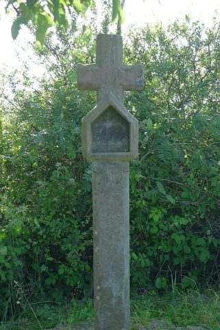 140 m
Wayside Shrines and Stations of the Cross
Wegekreuz östlich der Ortslage
No picture
330 m
Field Names
Auf dem Kolwerrech
No picture
380 m
Field Names
Aspelsheldchen
No picture
450 m
War Memorials
Friedhofskreuz
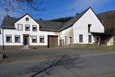 450 m
Extraction and Processing of Raw Materials
Alte Schmiede mit Notstall
No picture
470 m
Field Names
Gegen Aspelsheldchen
No picture
530 m
Field Names