Extraction and Processing of Raw Materials · Historicism / Art Nouveau
Ehemaliger Steinbruch
- Listed monument


© GeoBasis-DE / LVermGeoRP, dl-de/by-2-0
There is no picture of this object yet. Do you have a photo that you would like to make available to the Kulturdatenbank? Submit a picture
Classification
- Subject area
- Architectural and Art Monuments
- Category
- Economy, Trade and Transport
- Object type
- Extraction and Processing of Raw Materials
- Date
- 1887
Location
- District
- City of Trier
- Collective municipality
- Verbandsfreie Gemeinde Trier
- Town
- Trier
- Locality / location
- Trier-West/Pallien
- Field name
- Auf dem Kläschesberg
- Coordinates
- WGS 84: 49.772400, 6.619850 (Position: exact) WGS 84: 49° 46′ 20.6″ N, 6° 37′ 11.5″ E UTM 32 (ETRS89): E 328626 · N 5516044
Sources
Data sources
- [1] Topographische Karte 1:25.000 von 1887.
- https://kartenforum.slub-dresden.de/vkviewer?%3Fwelcomepage=off&z=1…
On the internet
Last edited: 18 May 2018 Object ID: 47679
https://kulturdb.de/en/objekt/47679-trier-west-pallien-ehemaliger-steinbruch
Nearby
The nearest objects
No picture
170 m
Viewpoints
Ehemaliger Aussichtspunkt
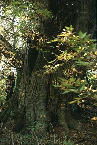 250 m
Chestnut Trees
Kastanie am Gläsgesberg
No picture
300 m
Street Names
Sogenannte Hägin-Kurve
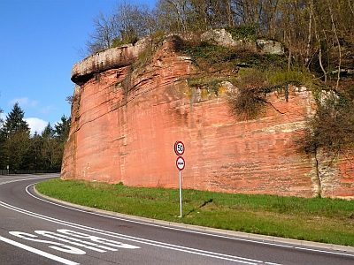 320 m
Rocks
Sandsteinfelsen mit Kreuz
 340 m
Beeches
Rotbuche
360 m
Pines
Kiefer
No picture
410 m
Field Names
Auf dem Kestenberg
470 m
Beeches