Viewpoints · 20th Century
Ehemaliger Aussichtspunkt


© GeoBasis-DE / LVermGeoRP, dl-de/by-2-0
There is no picture of this object yet. Do you have a photo that you would like to make available to the Kulturdatenbank? Submit a picture
Description
This description is only available in German.
Translate with Google opens this page in Google Translate (external service)
Am Kläschesberg.
Classification
- Subject area
- Natural Features
- Category
- Viewpoints
- Date
- 1919
- Period
- 20th Century
Location
- District
- City of Trier
- Collective municipality
- Verbandsfreie Gemeinde Trier
- Town
- Trier
- Locality / location
- Trier-West/Pallien
- Field name
- Kläschesberg
- Coordinates
- WGS 84: 49.772440, 6.622180 (Position: exact) WGS 84: 49° 46′ 20.8″ N, 6° 37′ 19.8″ E UTM 32 (ETRS89): E 328794 · N 5516043
Sources
Data sources
- [1] Wanderkarte des Eifelvereins, Ortsgruppe Trier von 1919.
On the internet
Last edited: 19 May 2018 Object ID: 47684
https://kulturdb.de/en/objekt/47684-trier-west-pallien-ehemaliger-aussichtspunkt
Nearby
The nearest objects
Extraction and Processing of Raw Materials
Ehemaliger Steinbruch
Street Names
Sogenannte Hägin-Kurve
 350 m
Beeches
Rotbuche
 360 m
Surveying
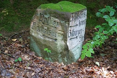
Historischer Wegestein am Kockelsberg
Field Names
Auf dem Kestenberg
 390 m
Rocks
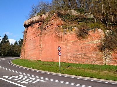
Sandsteinfelsen mit Kreuz
Town Houses and Commercial Buildings
Villa Jaeger
420 m
Pines