Street Names · 20th Century
Sogenannte Hägin-Kurve


© GeoBasis-DE / LVermGeoRP, dl-de/by-2-0
There is no picture of this object yet. Do you have a photo that you would like to make available to the Kulturdatenbank? Submit a picture
Description
This description is only available in German.
Translate with Google opens this page in Google Translate (external service)
Der auf der Höhe der Grundstückszufahrt (Am Kestenberg 1) gelegene Abschnitt der Bundesstraße 51 (Bitburger Straße) inoffiziell als "Hägin-Kurve" bezeichnet, anfangs nur in Unfallberichten der Polizei, schließlich auch im Volksmund. Unbeeinflusst davon, dass sich das Areal ab 1979 rund 40 Jahre lang in der Hand derselben neuen Eigentümer befand, der Stuttgarter Familie Bour. [1]
Classification
- Subject area
- History
- Category
- Place Names / Local History
- Object type
- Street Names
- Date
- Nach 1954
- Period
- 20th Century
Location
- District
- City of Trier
- Collective municipality
- Verbandsfreie Gemeinde Trier
- Town
- Trier
- Locality / location
- Trier-West/Pallien
- Street
- Bei Kestenberg 1
- Field name
- Auf dem Kestenberg
- Coordinates
- WGS 84: 49.769840, 6.620989 (Position: exact) WGS 84: 49° 46′ 11.4″ N, 6° 37′ 15.6″ E UTM 32 (ETRS89): E 328699 · N 5515757
Sources
Data sources
- [1] Seite "Adolf Hägin". In: Wikipedia – Die freie Enzyklopädie. Bearbeitungsstand: 6. Mai 2021, 18:02 UTC. URL: https://de.wikipedia.org/w/index.php?title=Adolf_H%C3%A4gin&oldid=2… (Abgerufen: 11. Oktober 2021, 22:09 UTC)
Last edited: 12 Oct 2021 Object ID: 51326
https://kulturdb.de/en/objekt/51326-trier-west-pallien-sogenannte-haegin-kurve
Nearby
The nearest objects
 40 m
Beeches
Rotbuche
Field Names
Auf dem Kestenberg
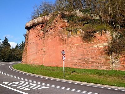 120 m
Rocks
Sandsteinfelsen mit Kreuz
160 m
Pines
Kiefer
Town Houses and Commercial Buildings
Villa Jaeger
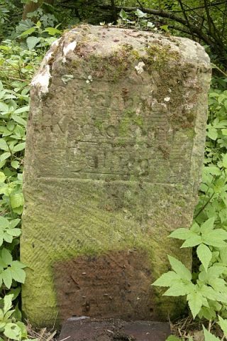 300 m
Surveying
Historischer Wegestein an der Gillenbachbrücke
Extraction and Processing of Raw Materials
Ehemaliger Steinbruch
Viewpoints