Vineyard Sites · Historicism / Art Nouveau
Held


© GeoBasis-DE / LVermGeoRP, dl-de/by-2-0
There is no picture of this object yet. Do you have a photo that you would like to make available to the Kulturdatenbank? Submit a picture
Classification
- Subject area
- History
- Category
- Vineyard Sites
- Date
- Um 1910
Location
- District
- Bernkastel-Wittlich
- Town
- Bernkastel-Kues
- Locality / location
- Bernkastel
- Field name
- Braunes
- Coordinates
- WGS 84: 49.926914, 7.074749 (Position: exact) WGS 84: 49° 55′ 36.9″ N, 7° 04′ 29.1″ E UTM 32 (ETRS89): E 361818 · N 5532282
Sources
Data sources
- [1] Wanderkarte um 1910 aus "Berncastel-Cues - die Perle an der Mosel - und seine Umgebung". Seinen Gästen gewidmet vom Hotel Gassen. In: https://www.ro-klinger.de/BKS/wand.htm
On the internet
Last edited: 10 May 2019 Object ID: 48225
https://kulturdb.de/en/objekt/48225-bernkastel-kues-held
Nearby
The nearest objects
No picture
less than 10 m
Vineyard Sites
Schwanen
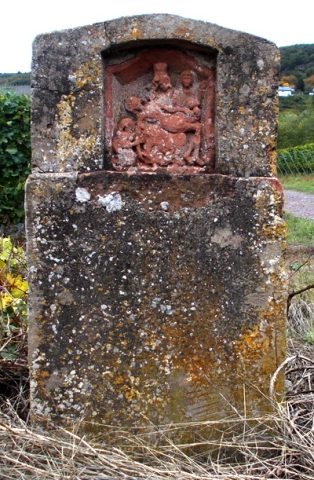 140 m
Wayside Shrines and Stations of the Cross
Heiligenhäuschen
 180 m
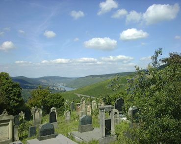
Jewish Cemeteries
Neuer jüdischer Friedhof
 180 m
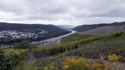
Viewpoints
Aussichtspunkt Braunes
No picture
240 m
Vineyard Sites
Mönch
No picture
320 m
Vineyard Sites
Matheisbildchen
No picture
340 m
Vineyard Sites
Goldwingert
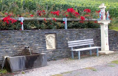 340 m
Wayside Shrines and Stations of the Cross