Field Names · Historicism / Art Nouveau
Am Kirchhof


© GeoBasis-DE / LVermGeoRP, dl-de/by-2-0
There is no picture of this object yet. Do you have a photo that you would like to make available to the Kulturdatenbank? Submit a picture
Description
This description is only available in German.
Translate with Google opens this page in Google Translate (external service)
Am Kirchhof (1856, auch später). Eine junge Bezeichnung; der (ehemalige)
Friedhof am Obertor wurde 1812 angelegt. [1]
Classification
- Subject area
- History
- Category
- Field Names
- Date
- 1856
Location
- District
- City of Trier
- Collective municipality
- Verbandsfreie Gemeinde Trier
- Town
- Trier
- Locality / location
- Ehrang-Quint
- Street
- Friedhofstraße
- Field name
- Ortslage
- Coordinates
- WGS 84: 49.810181, 6.681601 (Position: exact) WGS 84: 49° 48′ 36.7″ N, 6° 40′ 53.8″ E UTM 32 (ETRS89): E 333201 · N 5520105
Sources
Data sources
- [1] Werner Schuhn: Ehrang. Landschaft, Geschichte, Gegenwart. Trier, 1989. Hrsg. Arbeitsgemeinschaft für Landesgeschichte und Volkskunde des Trierer Raumes. Sonderausgabe der Trierer Heimat.
On the internet
Last edited: 13 Aug 2020 Object ID: 49746
https://kulturdb.de/en/objekt/49746-trier-am-kirchhof
Nearby
The nearest objects
 20 m
Burial Sites
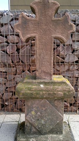
Grabkreuz vom alten Gemeindefriedhof
 40 m
Christian Cemeteries
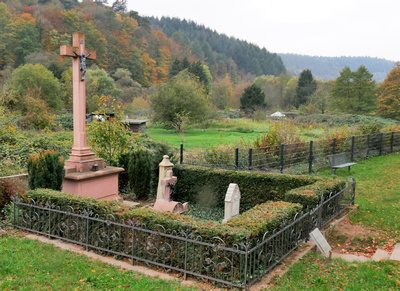
Sogenannter Pastorenfriedhof
Street Names
Am Scharfen Eck
Extraction and Processing of Raw Materials
Ehemalige Gerberei
Town Fortifications
Ehemaliges Obertor
Street Names
Mühlenecken
Vineyard Sites
Im Krahnen
 110 m
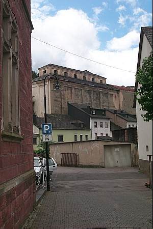
Mills