Lime Trees · 20th Century
Ehemalige Linde
Naturdenkmal
- Listed monument

Description
This description is only available in German.
Translate with Google opens this page in Google Translate (external service)
Tilia var.
Die Linde steht am Rande des ehemaligen Schulhofes im nördlichen Ortsrandbereich von Auel.
Stammumfang: 1,80 m
Höhe: 10,0 m
Alter bei Unterschutzstellung: ca. 120 Jahr [1]
Die Linde ist 2009 untergegangen. Zuvor gab es immer wieder Versuche, den durch Sturmschäden zerstörten Baum noch zu retten. Er wurde durch eine Ersatzpflanzung in 2009 ersetzt. [2]
Classification
- Subject area
- Natural Features
- Category
- Trees
- Object type
- Lime Trees
- Date
- 21.01.1948 [Unterschutzstellung]
- Period
- 20th Century
Location
- District
- Vulkaneifel
- Collective municipality
- Gerolstein
- Municipality
- Steffeln
- Locality / location
- Auel
- Street
- Hauptstraße
- Field name
- Ortslage
- Coordinates
- WGS 84: 50.284762, 6.589541 (Position: exact) WGS 84: 50° 17′ 05.1″ N, 6° 35′ 22.3″ E UTM 32 (ETRS89): E 328281 · N 5573072
Sources
Data sources
- [1] Rita Gehendges: Naturdenkmale des Landkreises Daun. 1985. Hrsg.: Landkreis Daun.
- [2] Markus Igelmund, Steffeln, 2010
On the internet
Picture credits
- Picture 1: Peter Valerius, Kordel, 2005.
Last edited: 27 Apr 2023 Object ID: 5092
https://kulturdb.de/en/objekt/5092-steffeln-ehemalige-linde
Nearby
The nearest objects
Field Names
Auf dem Lüh (1)
 140 m
War Memorials
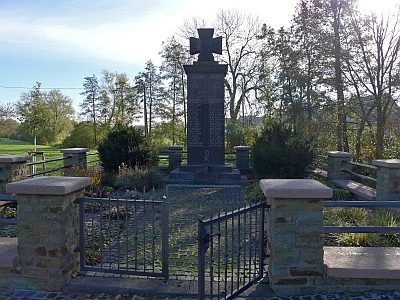
Kriegerdenkmal
 150 m
Wayside Shrines and Stations of the Cross
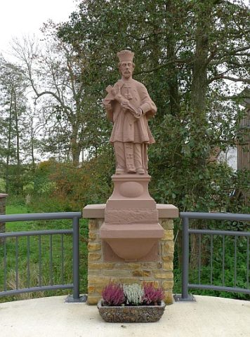
Statue des heiligen Nepomuk
Field Names
Im Haagpesch
Field Names
Auf dem Lüh (2)
 220 m
Place Names / Local History
Geburtsort von Johann Michael Baur
Field Names
Im Schulzenpesch
Field Names