Field Names · Undated
Im Haagpesch


© GeoBasis-DE / LVermGeoRP, dl-de/by-2-0
There is no picture of this object yet. Do you have a photo that you would like to make available to the Kulturdatenbank? Submit a picture
Description
This description is only available in German.
Translate with Google opens this page in Google Translate (external service)
„Hag (Hach), m., f., Bedeutung: Die Grundbedeutung ist ‚geflochtener Zaun, Hürde‘; die Bedeutung ‚lebende Hecke, Dornstrauch‘ ist erst sekundär entstanden, nicht umgekehrt. In Flurnamen bezeichnet das Wort ursprünglich den eingezäunten Raum, also einen eingefriedeten Weideplatz oder Acker; schließlich, wenn auch heute nicht mehr, die eingefriedete Wohnstätte“ (Dittmaier). Pesch (Päsch, Pasch, Peisch, Paisch), abgeleitet von lat. Pastura = Weide, bedeutet in der Eifel eine eingezäunte, ertragreiche Wiese beim Haus. Die Flurnamen stehen also für eingezäunte Wiesen oder Weiden im oder in der Nähe des Dorfs. [1]
Classification
- Subject area
- History
- Category
- Field Names
- Date
- Undatiert
- Period
- Undated
Location
- District
- Vulkaneifel
- Collective municipality
- Gerolstein
- Municipality
- Steffeln
- Locality / location
- Auel
- Field name
- Im Haagpesch
- Coordinates
- WGS 84: 50.283361, 6.590312 (Position: exact) WGS 84: 50° 17′ 00.1″ N, 6° 35′ 25.1″ E UTM 32 (ETRS89): E 328331 · N 5572914
Sources
Data sources
- [1] © Peter May: Die Flurnamen in der Gemarkung und im Aueler Wald in: 800 Jahre Auel. (2022) https://auel-800.jimdosite.com/
On the internet
Last edited: 6 May 2023 Object ID: 52473
https://kulturdb.de/en/objekt/52473-steffeln-im-haagpesch
Nearby
The nearest objects
Field Names
Auf Beienpesch
Field Names
Auf dem Murrengarten
Field Names
Im obersten Kläuschen
Field Names
Im Schulzenpesch
 150 m
War Memorials
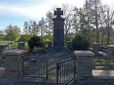
Kriegerdenkmal
 160 m
Wayside Shrines and Stations of the Cross
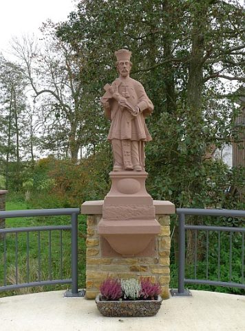
Statue des heiligen Nepomuk
 170 m
Lime Trees
Ehemalige Linde
Wayside Shrines and Stations of the Cross