Wayside Shrines and Stations of the Cross · Neoclassicism
Ehemaliges Reiterskreuz


© GeoBasis-DE / LVermGeoRP, dl-de/by-2-0
There is no picture of this object yet. Do you have a photo that you would like to make available to the Kulturdatenbank? Submit a picture
Description
This description is only available in German.
Translate with Google opens this page in Google Translate (external service)
Am damaligen Standort treffen die heutigen Gemeinden Neichen, Beinhausen und Sarmersbach aufeinander. Das Kreuz ist noch in der Topographischen Karte 1:25.000 von 1940 eingezeichnet. [1]
Classification
- Subject area
- Architectural and Art Monuments
- Category
- Religious Buildings
- Object type
- Wayside Shrines and Stations of the Cross
- Date
- 1810
- Period
- Neoclassicism
Location
- District
- Vulkaneifel
- Collective municipality
- Kelberg
- Municipality
- Neichen
- Field name
- Bei Reiterskreuz
- Coordinates
- WGS 84: 50.255420, 6.887390 (Position: exact) WGS 84: 50° 15′ 19.5″ N, 6° 53′ 14.6″ E UTM 32 (ETRS89): E 349405 · N 5569165
Sources
Data sources
- [1] Kartenaufnahme der Rheinlande - durch Tranchot und von Müffling, Maßstab 1:25000, Uraufnahme (1803 - 1820), Blattnummer: 156, Jahrgang: 1810/11, Blattname: Daun, Aufnahme: Capitaine Ing. Geograph 2. Klasse M. Ribet.
On the internet
Last edited: 26 May 2022 Object ID: 51711
https://kulturdb.de/en/objekt/51711-neichen-ehemaliges-reiterskreuz
Nearby
The nearest objects
Field Names
Auf Hilgerath
Deserted Settlements
Wüstung Hilgerath
Wayside Shrines and Stations of the Cross
Ehemaliges Wegekreuz
Field Names
Im Kautenpesch
 480 m
Chapels
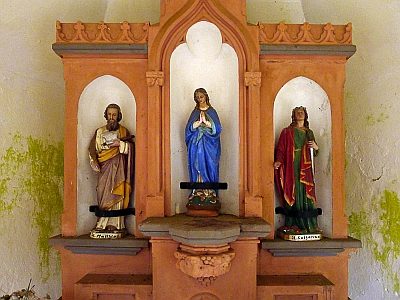
Wegekapelle (2)
 480 m
Chapels
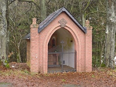
Wegekapelle (1)
 530 m
Deserted Settlements
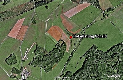
Hofwüstung Scheid
Field Names