Mills · Neoclassicism
Ehemalige Schleif-Mühle


© GeoBasis-DE / LVermGeoRP, dl-de/by-2-0
There is no picture of this object yet. Do you have a photo that you would like to make available to the Kulturdatenbank? Submit a picture
Classification
- Subject area
- Architectural and Art Monuments
- Object type
- Mills
- Date
- 1850
- Period
- Neoclassicism
Location
- District
- Vulkaneifel
- Collective municipality
- Daun
- Municipality
- Niederstadtfeld
- Field name
- In der Au
- Coordinates
- WGS 84: 50.150286, 6.759759 (Position: exact) WGS 84: 50° 09′ 01.0″ N, 6° 45′ 35.1″ E UTM 32 (ETRS89): E 339957 · N 5557743
Sources
Data sources
- [1] Preußische Kartenaufnahme, Maßstab 1:25000, Uraufnahme (1843 - 1878), Blattnummer:336, Jahrgang: 1850, Blattname:Daun. © GeoBasis-DE / LVermGeoRP (2023), dl-de/by-2-0, http://www.lvermgeo.rlp.de [Daten bearbeitet], Originale im Besitz der Kartenabteilung der Staatsbibliothek zu Berlin
On the internet
Last edited: 1 Jan 2023 Object ID: 52138
https://kulturdb.de/en/objekt/52138-niederstadtfeld-ehemalige-schleif-muehle
Nearby
The nearest objects
No picture
400 m
Field Names
Pfaffenwies
No picture
480 m
Field Names
Auf Buchenheld
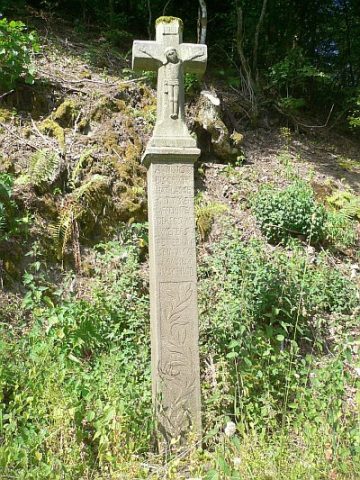 600 m
Wayside Shrines and Stations of the Cross
Schaftkreuz von 1633
No picture
670 m
Field Names
Ritzwinkel
No picture
680 m
Viewpoints
Aussichtspunkt südlich der Ortslage
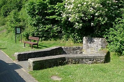 740 m
Mineral Springs
Sauerbrunnen
No picture
760 m
Mills
Ehemalige Schleif-Mühle im Tal der Kleinen Kyll
No picture
860 m
Field Names