Field Names · Undated
Im Kaulenpesch


© GeoBasis-DE / LVermGeoRP, dl-de/by-2-0
There is no picture of this object yet. Do you have a photo that you would like to make available to the Kulturdatenbank? Submit a picture
Description
This description is only available in German.
Translate with Google opens this page in Google Translate (external service)
Die Flur liegt in der flachen Talsohle des Tieferbachs zwischen den alten Häusern an der Straße „am Tieferbach“ und dem heute begradigten Bachlauf. „Pesch“ (vgl. o.) bedeutet „eingezäunte, ertragreiche Wiese beim Haus“, das Beiwort „Kaule“ im Allgemeinen „Bodenvertiefung, natürliche oder künstliche Grube“ (Dittmaier). Da der Tieferbach früher im breiten Talboden frei hin und her pendelte und zahlreiche Schlingen ausbildete, dürfte es sich hier um alte, verlandete Bachkolke handeln, die dem Wiesengelände ihren Namen gegeben haben. [1]
Classification
- Subject area
- History
- Category
- Field Names
- Date
- Undatiert
- Period
- Undated
Location
- District
- Vulkaneifel
- Collective municipality
- Gerolstein
- Municipality
- Steffeln
- Locality / location
- Auel
- Field name
- Im Kaulenpesch
- Coordinates
- WGS 84: 50.283744, 6.586542 (Position: exact) WGS 84: 50° 17′ 01.5″ N, 6° 35′ 11.6″ E UTM 32 (ETRS89): E 328064 · N 5572966
Sources
Data sources
- [1] © Peter May: Die Flurnamen in der Gemarkung und im Aueler Wald in: 800 Jahre Auel. (2022) https://auel-800.jimdosite.com/
On the internet
Last edited: 6 May 2023 Object ID: 52496
https://kulturdb.de/en/objekt/52496-steffeln-im-kaulenpesch
Nearby
The nearest objects
Field Names
Im Kaulenpesch
 120 m
Wayside Shrines and Stations of the Cross
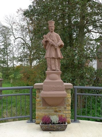
Statue des heiligen Nepomuk
 130 m
War Memorials
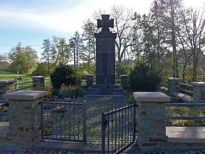
Kriegerdenkmal
Field Names
Im Stickegarten
 140 m
Place Names / Local History
Geburtsort von Johann Michael Baur
Field Names
Auf dem Kälberpesch
Field Names
Auf dem Lüh (1)
 160 m
Pilgrimage Sites