Rocks · 20th Century
Dolomitgipfel Decke Ley
Naturdenkmal
- Listed monument


Description
This description is only available in German.
Translate with Google opens this page in Google Translate (external service)
Classification
- Subject area
- Natural Features
- Category
- Rocks
- Date
- 25.09.1939 [Unterschutzstellung]
- Period
- 20th Century
Location
- District
- Vulkaneifel
- Town
- Gerolstein
- Street
- Bei Mossweg 4
- Field name
- Auf dem Rübenfeld
- Coordinates
- WGS 84: 50.219136, 6.664996 (Position: exact) WGS 84: 50° 13′ 08.9″ N, 6° 39′ 54.0″ E UTM 32 (ETRS89): E 333427 · N 5565605
Sources
Data sources
- [1] Rita Gehendges: Naturdenkmale des Landkreises Daun. 1985. Hrsg.: Landkreis Daun.
- [2] Wilma Herzog, Gerolstein, 2015.
On the internet
Picture credits
Last edited: 28 Nov 2015 Object ID: 5275
https://kulturdb.de/en/objekt/5275-gerolstein-dolomitgipfel-decke-ley
Nearby
The nearest objects
No picture
80 m
Cremation Graves
Brandgräber
 110 m
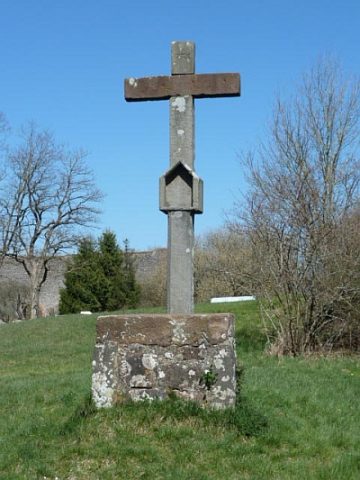
Altars
Feldaltar vor der Burg
No picture
220 m
Field Names
Im obersten Bungert
No picture
220 m
Cremation Graves
Spätrömisches Brandgrab
 250 m
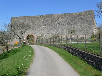
Castles
Löwenburg - Schildmauer
No picture
280 m
Street Names
Burgstraße
No picture
280 m
Field Names
Im Laar
 300 m
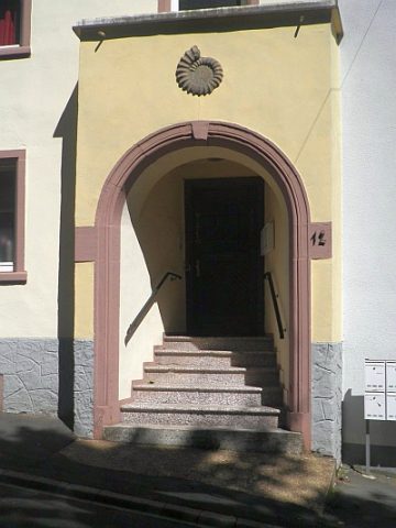
Town Houses and Commercial Buildings