Road Transport · Undated
Pfad Am Räubergschell


© GeoBasis-DE / LVermGeoRP, dl-de/by-2-0
There is no picture of this object yet. Do you have a photo that you would like to make available to the Kulturdatenbank? Submit a picture
Description
This description is only available in German.
Translate with Google opens this page in Google Translate (external service)
Der Böngertsbach entspringt auf der Moselhöhe zwischen Kindel und Lösnich und mündet etwa bei Flusskilometer 116 in die Mosel. In seinem Oberlauf weist er zunächst ein starkes Gefälle auf. Der parallel verlaufende Waldweg ist entsprechend sehr steil und wird im Volksmund als "Räubergeschell" bezeichnet. Flussabwärts durchfließt er einen kleinen See und bildet in seinem Unterlauf die Grenze zwischen den Gemeinden Kinheim und Lösnich. [1]
Classification
- Subject area
- Architectural and Art Monuments
- Category
- Economy, Trade and Transport
- Object type
- Road Transport
- Date
- Undatiert
- Period
- Undated
Location
- District
- Bernkastel-Wittlich
- Collective municipality
- Bernkastel-Kues
- Municipality
- Lösnich
- Field name
- Im Arbertsgraben
- Coordinates
- WGS 84: 49.960532, 7.045689 (Position: exact) WGS 84: 49° 57′ 37.9″ N, 7° 02′ 44.5″ E UTM 32 (ETRS89): E 359830 · N 5536073
Sources
Data sources
- [1] Seite „Böngertsbach“. In: Wikipedia – Die freie Enzyklopädie. Bearbeitungsstand: 10. Dezember 2022, 14:08 UTC. URL: https://de.wikipedia.org/w/index.php?title=B%C3%B6ngertsbach&oldid=… (Abgerufen: 25. Dezember 2023, 16:30 UTC)
- [2] https://loncetum.de/am-raeubergeschell
On the internet
Last edited: 22 Jan 2024 Object ID: 53004
https://kulturdb.de/en/objekt/53004-loesnich-pfad-am-raeubergschell
Nearby
The nearest objects
Wayside Shrines and Stations of the Cross
Gedenkkreuz von 1638
 200 m
Commemorative Plantings
Kaisergarten
Springs
Hubertusquelle ehemals Klostersborn
Viewpoints
Aussichtspunkt am Römerbrunnen
Fountains and Wells
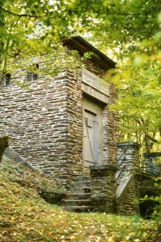
Römerbrunnen
 620 m
Waterworks
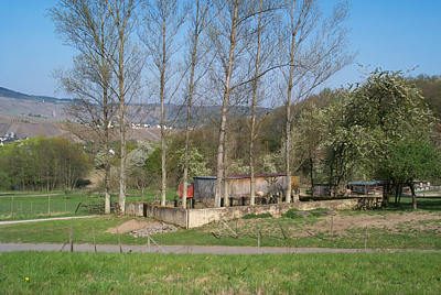
Alte Wasserwerkstation II
 630 m
Jewish Cemeteries
Neuer jüdischer Friedhof
Jewish Cemeteries